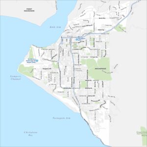
Downtown Anchorage Map
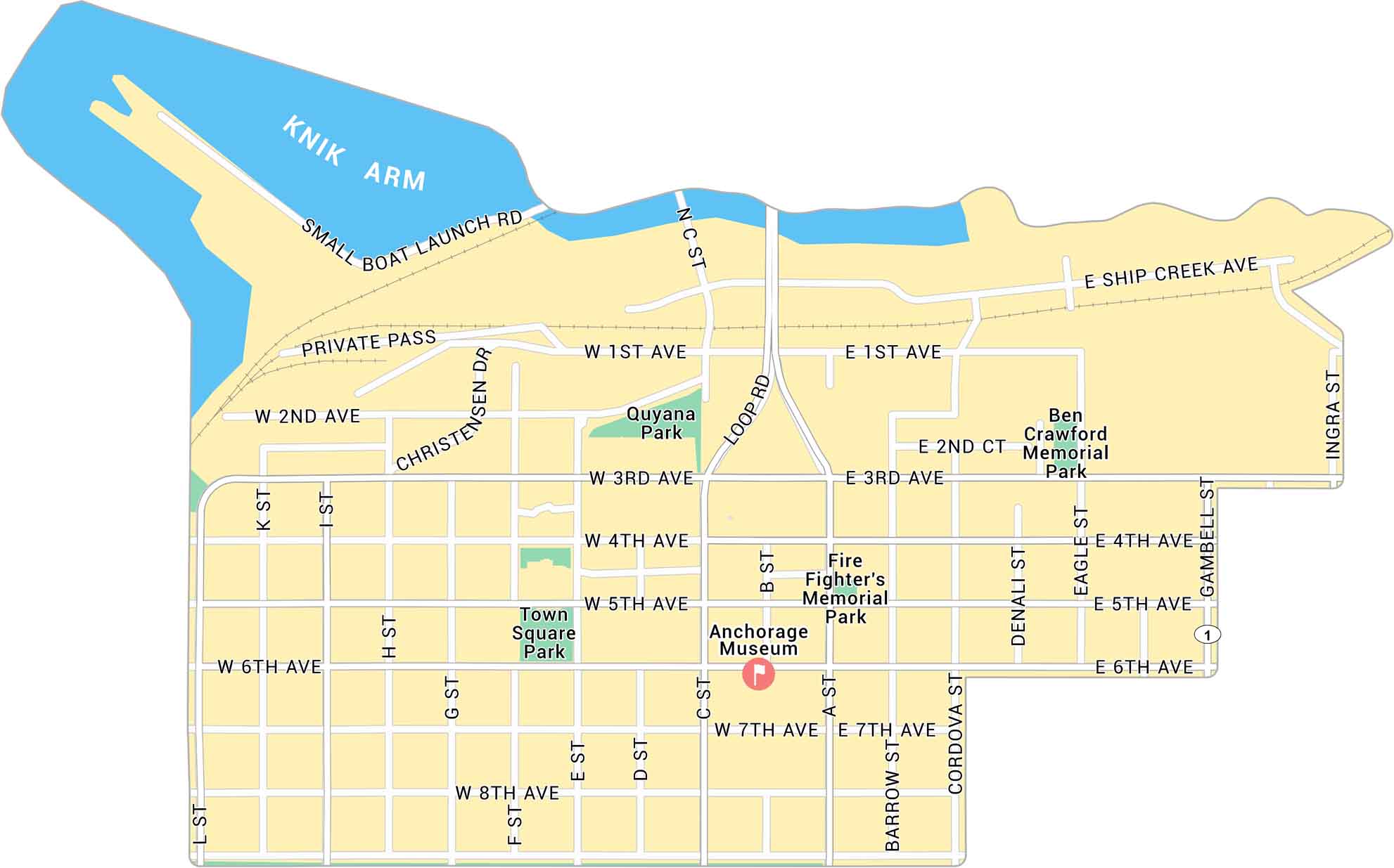
Anchorage is in southern Alaska along the Cook Inlet. Our map of Downtown Anchorage gives a close look at the streets near the waterfront. It includes parks, local roads, and the routes connecting to the rest of the city.
Map Information
On the Map
Interstates/Highways: US Hwy 1 Major Roads: 6th Ave, 5th Ave, 4th Ave, 3rd Ave, 1st Ave, 2nd Ave, 7th Ave, 8th Ave, C St, A St, Gambell St, Ingrah St, L St, K St, I St, H St, G St, F St, E St, D St, Ship Creek Ave Waterbodies: Knik Arm Parks: Town Square Park, Fire Fighter’s Memorial Park, Ben Crawford Memorial Park, Quyana ParkAlaska City Maps
Browse our collection of Alaska city maps