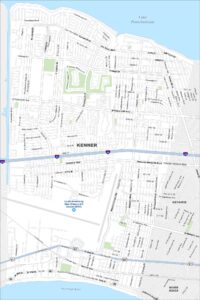
Map of Baker, Louisiana
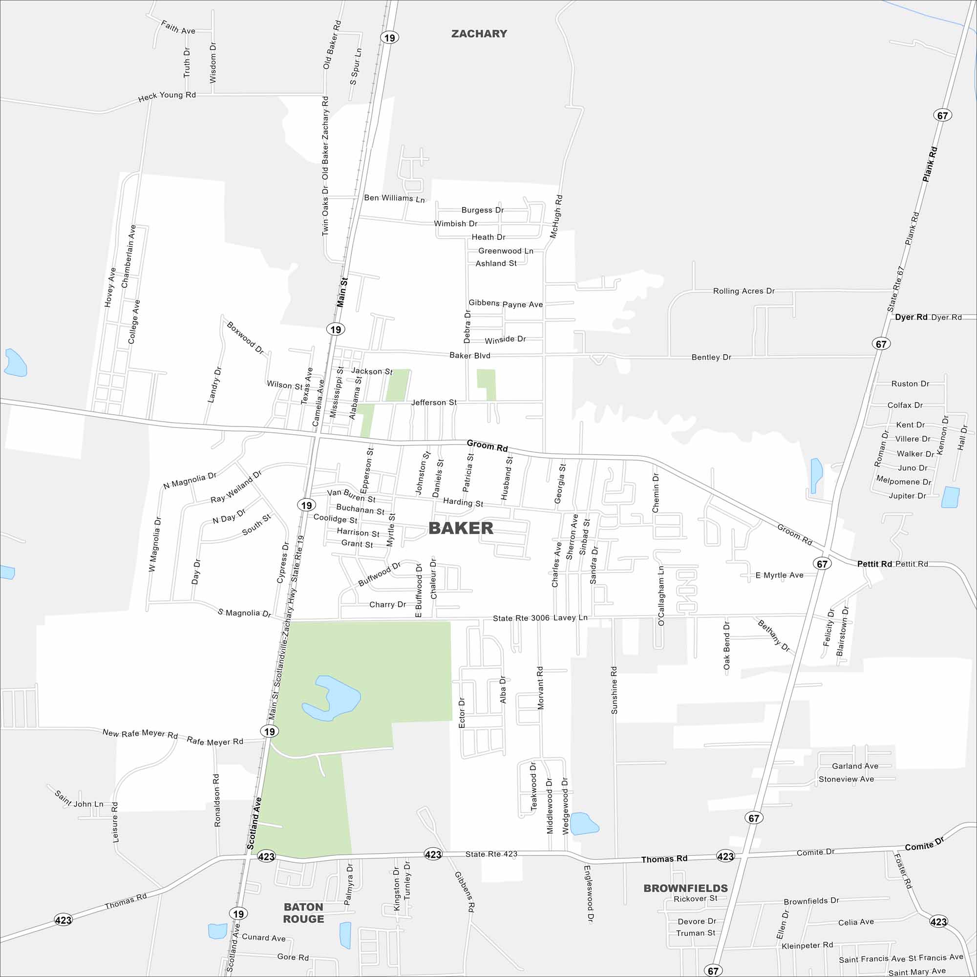
Baker is mapped with its highways, streets, and nearby park spaces. You can see how it connects to Baton Rouge. Baker is part of East Baton Rouge Parish but still holds its own small-town style.
Louisiana State Maps
Here are maps showcasing the state of Louisiana


Map Information
On the Map
Interstates/Highways: State Rte 19, State Rte 67, State Rte 423, State Rte 3006 Major Roads: Plank Rd, Main St, Baker Blvd, Lavey Ln, Groom Rd, Thomas Rd, Scotland Ave, Rafe Meyer Rd, Old Baker Zachary Rd, Petit Rd, Dyer Rd, Bentley Dr, Rolling Acres Rd, McHugh Rd, Groom Rd, Cypress Dr, Harding St, Jefferson St, Burgess Dr, Wimbish Dr Nearby Communities: Zachary, Baton Rouge, BrownfieldsCity Maps of Louisiana
Explore New Orleans and Louisiana’s urban centers with our city maps