Map of Bend, Oregon
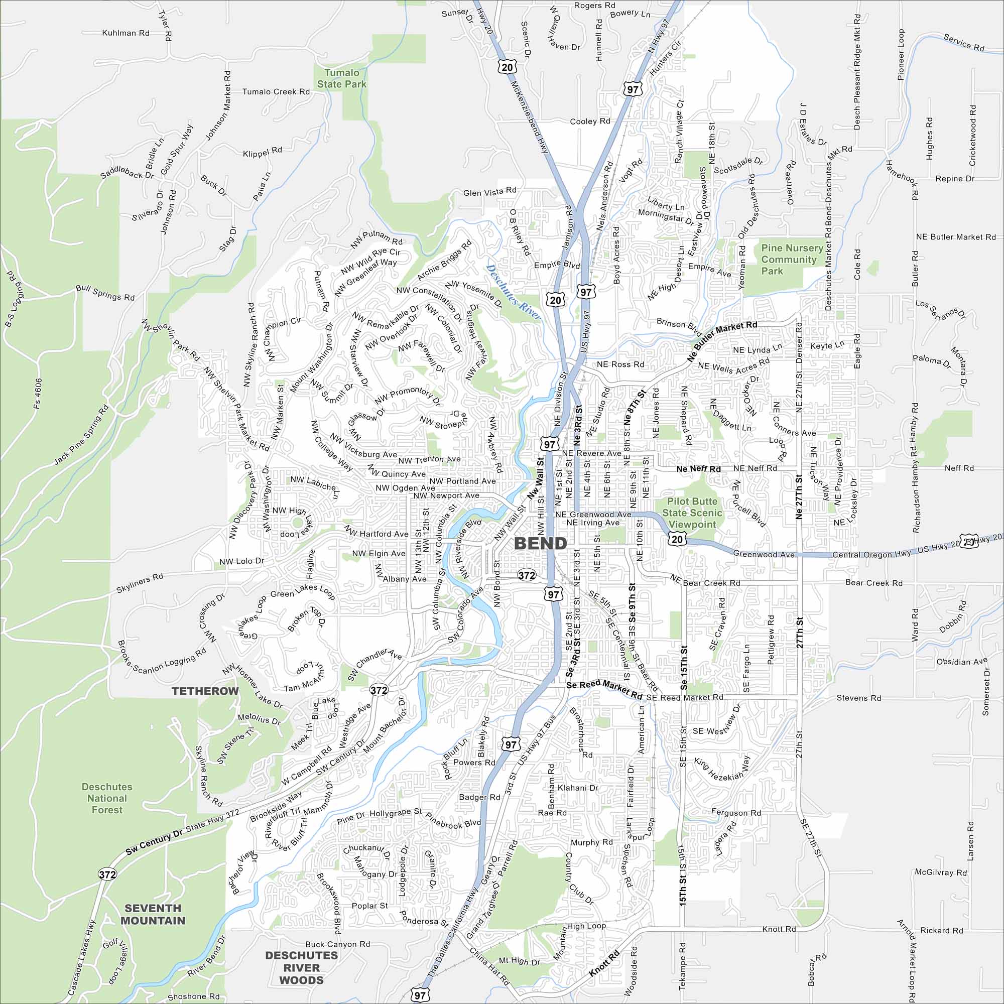
Check out Bend with our map in central Oregon. The Deschutes River, parks, and nearby mountains shape the layout. It’s well known for its outdoor recreation and high desert scenery.
Map Information
On the Map
Interstates/Highways: US Hwy 97, US Hwy 20, State Hwy 372, State Hwy 431 Major Roads: 3rd St, 27th St, Reed Market Rd, Century Dr, 15th St, Neff Rd, Butler Market Rd, Empire Blvd, Wall St, Bond St, Greenwood Ave, Portland Ave, Newport Ave, Galveston Ave, Mt Washington Dr, Brooks Scanlon Logging Rd, Skyliners Rd, Knott Rd, Rickard Rd, Parrell Rd Major Rivers: Deschutes River Parks and Preserves: Deschutes National Forest, Tumalo State Park, Pilot Butte State Scenic Viewpoint, Pine Nursery Community Park Nearby Communities: Tetherow, Seventh Mountain, Deschutes River WoodsOregon State Maps
Here is our state map collection of Oregon.


City Maps of Oregon
Get to know Portland and Oregon’s urban areas.


