Map of Bonney Lake, Washington
Bonney Lake is set against a backdrop of Mount Rainier. See it on our map with its roads spread among lakes and forests. It’s growing but still keeps a small-town character.
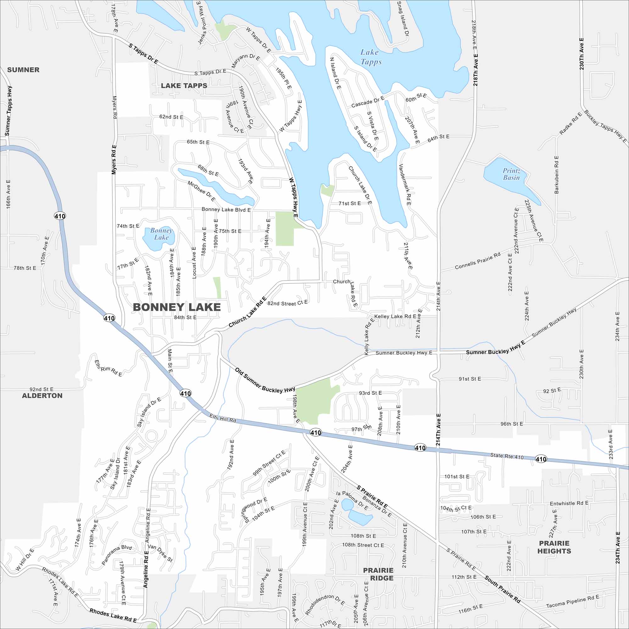
Map Information
On the Map
Interstates/Highways: State Rte 410 Major Roads: Bonney Lake Blvd, Main St, 214th Ave, 198th Ave, Sumner Buckley Hwy, Old Sumner Buckley Hwy, 192nd Ave, 204th Ave, 234th Ave, Tapps Dr, Church Lake Rd, Kelly Lake Rd, Rhodes Lake Rd, Angeline Rd, Sky Island Dr, Myers Rd, 96th St, 104th St, 112th St, 120th St Lakes and Reservoirs: Lake Tapps, Bonney Lake, Printz Basin Nearby Communities: Sumner, Alderton, Prairie Ridge, Prairie Heights, Lake TappsWashington State Maps
Move through the Evergreen State with our map collection.


City Maps of Washington
Check out our city maps of Washington


