Map of Wenatchee, Washington
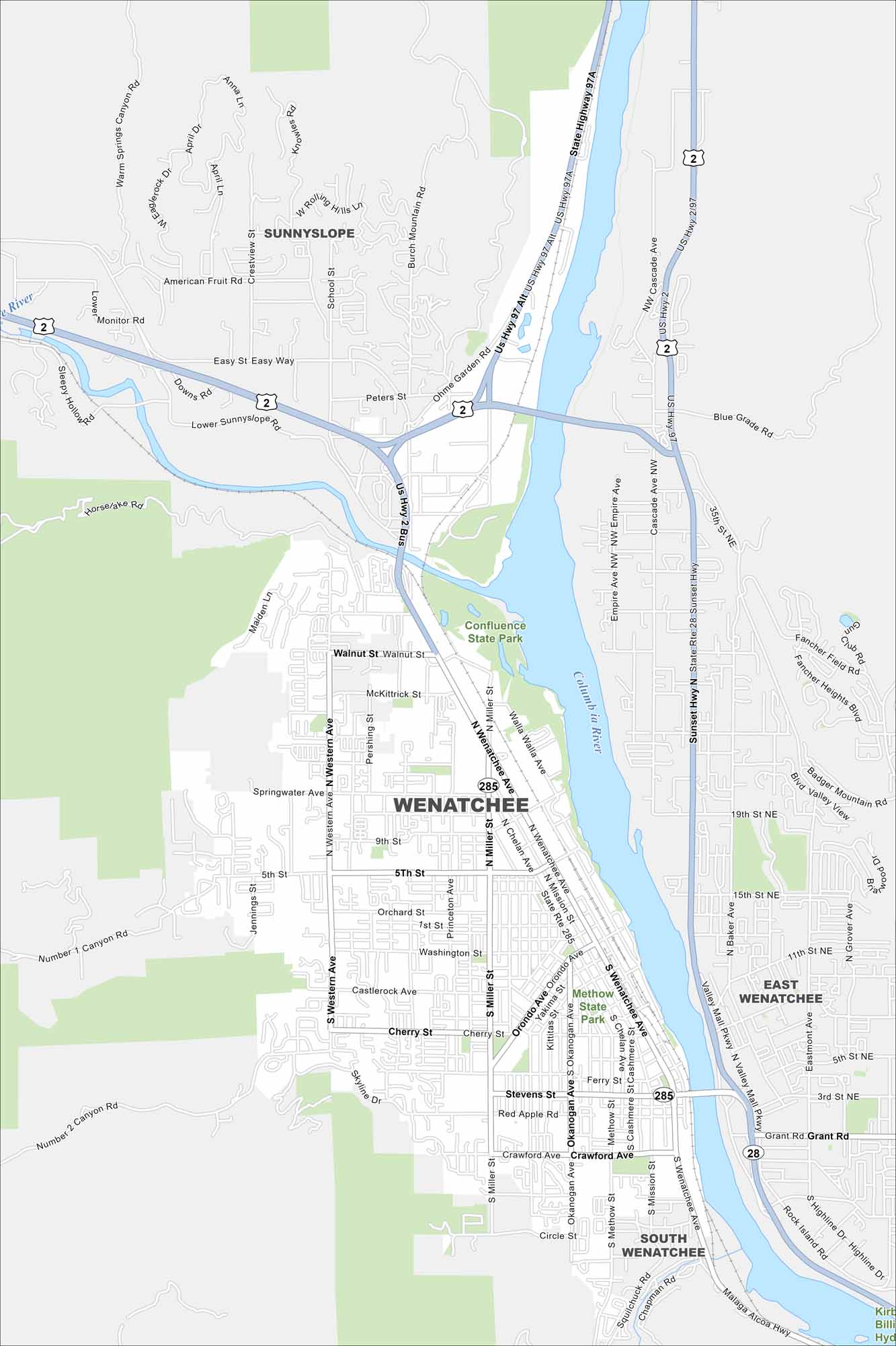
Our map of Wenatchee shows its Columbia River setting. Surrounded by apple orchards and mountains, it’s called the “Apple Capital of the World”.
Map Information
On the Map
Interstates/Highways: US Hwy 2, US Hwy 97, US Hwy 97 Alt, State Rte 28, State Rte 285 Major Roads: Wenatchee Ave, Miller St, Mission St, Chelan Ave, Orondo Ave, Western Ave, Stevens St, Ferry St, Crawford Ave, Fifth St, Ninth St, Walnut St, McKittrick St, Springwater Ave, Sunset Hwy, Cascade Ave, Empire Ave, Grant Rd, Valley Mall Pkwy, Highline Dr Major Rivers: Columbia River, Wenatchee River Parks and Preserves: Confluence State Park, Methow State Park Nearby Communities: Sunnyslope, East Wenatchee, South WenatcheeWashington State Maps
Move through the Evergreen State with our map collection.


City Maps of Washington
Check out our city maps of Washington


