Map of Crown Point, Indiana
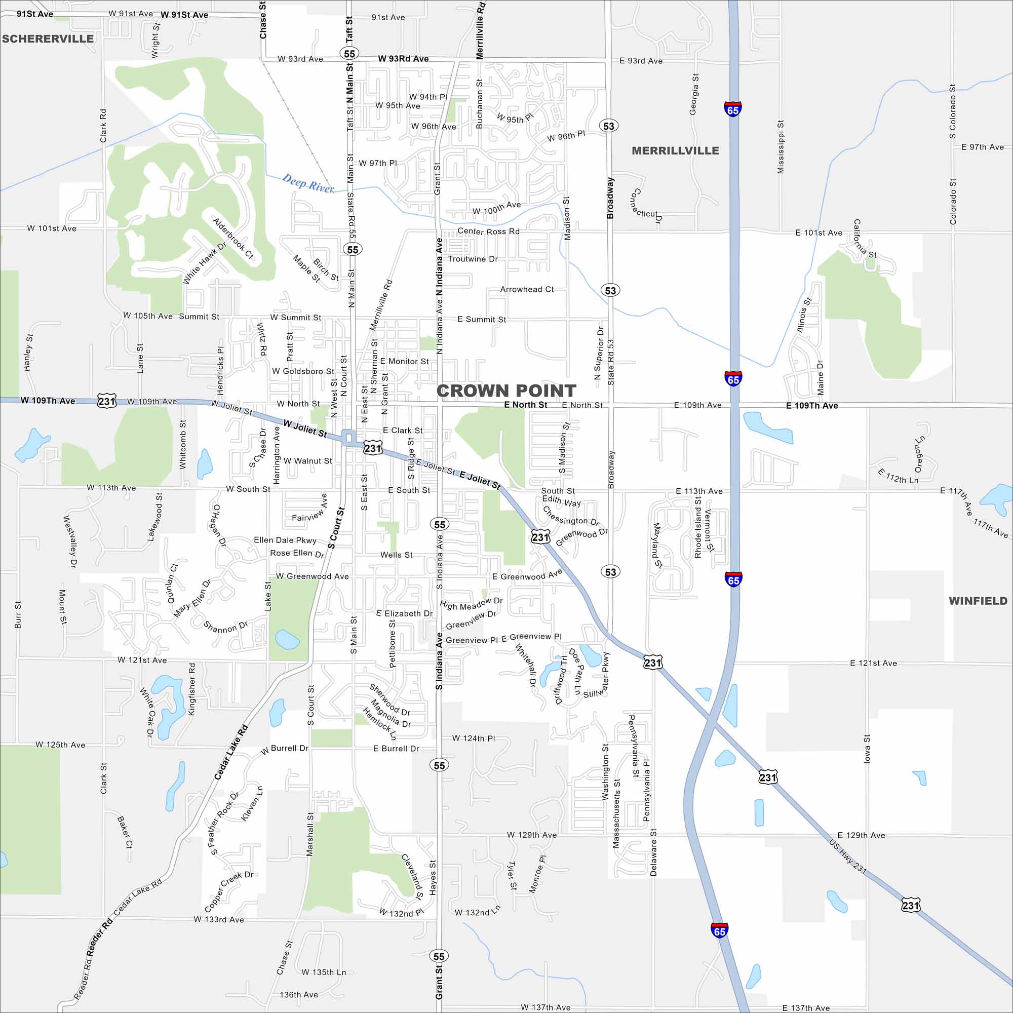
See Crown Point with our map that includes its streets, highways, and town square. South of Gary, it’s known for its historic courthouse. Farmland stretches beyond the city limits.
Indiana State Maps
Study about Indiana with our map collection


Map Information
On the Map
Interstates/Highways: I-65, US Hwy 231, State Rte 55, State Rte 53 Major Roads: Broadway, Main St, Joliet St, North St, 109th Ave, 93rd Ave, 101st Ave, 113th Ave, 121st Ave, 129th Ave, Summit St, Taft St, Merrillville Rd, Madison St, Delaware St, Summit St, Goldsboro St, South St, Greenwood Ave, Court St Lakes and Reservoirs: Cedar Lake Major Rivers: Deep River Nearby Communities: Merrillville, Winfield, ScherervilleIndiana City Maps
Here are our maps of Indianapolis and Indiana cities


