Map of Zionsville, Indiana
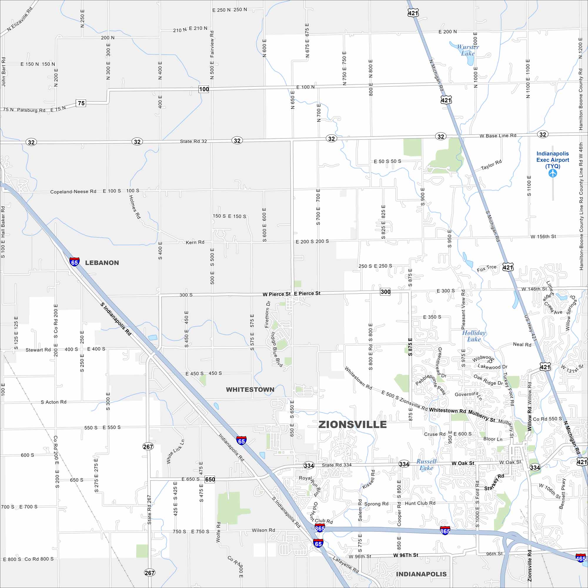
Our map of Zionsville shows main highways like I-65, I-865 and US-421 that connect to the rest of Indiana. The town mixes both history and modern suburban life.
Indiana State Maps
Study about Indiana with our map collection


Map Information
On the Map
Interstates/Highways: I-65, I-465, I-865, US Hwy 421, State Rte 32, State Rte 75, State Rte 100, State Rte 267, State Rte 334 Major Roads: Oak St, Michigan Rd, Zionsville Rd, Whitestown Rd, 96th St, 106th St, Sycamore St, Ford Rd, Mulberry St, Pierce St, 300 S, Base Line Rd, Willow Rd, Kissel Rd, Cooper Rd, 800 E, 700 E, 600 E, 500 E, 400 E Airports: Indianapolis Exec Airport (TYQ) Lakes and Reservoirs: Wurster Lake, Holliday Lake, Russell Lake Nearby Communities: Whitestown, Lebanon, IndianapolisIndiana City Maps
Here are our maps of Indianapolis and Indiana cities


