Map of Decatur, Alabama
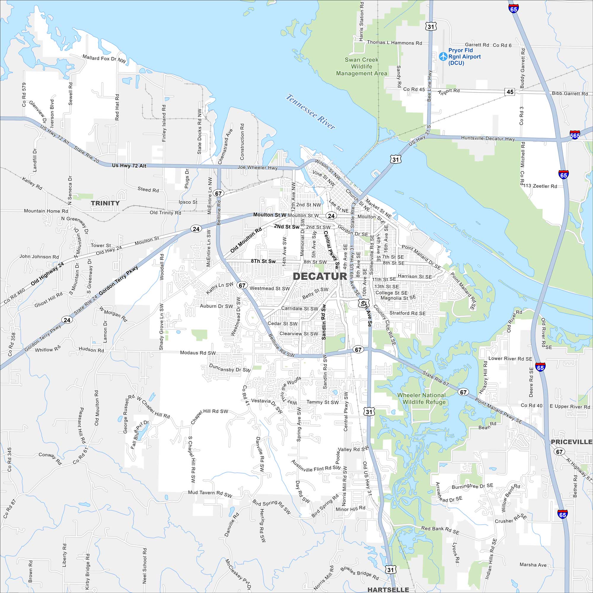
Our map of Decatur shows highways, streets, and the Tennessee River. Often called “The River City”, it grew along Wheeler Lake. Parks and green space spread along the waterfront.


Map Information
On the Map
Interstates/Highways: I-65, I-565, US Hwy 31, US Hwy 72 Alt, State Rte 20, State Rte 24, State Rte 67 Major Roads: Beltline Rd, Gordon Terry Pkwy, Point Mallard Pkwy SE, Moulton Rd, Old Moulton Rd, Central Pkwy, Sandlin Rd SW, Modaus Rd SW, 6th Ave SE, Upper River Rd, 2nd St, Wilson St, Somerville Rd, Danville Rd, Carridale St SW, Church St, 14th Ave SE, Spring Ave SW, Market St, Memorial Dr Airports: Pryor Fld Rgnl Airport (DCU) Rivers and Creeks: Tennessee River, Flint Creek, West Flint Creek, Swan Creek Parks, Preservers and Forests: Wheeler National Wildlife Refuge, Swan Creek Wildlife Management Area, Point Mallard Park Nearby Communities: Trinity, Priceville, HartselleAlabama City Maps
Here are our city maps of Alabama


