Map of Dothan, Alabama
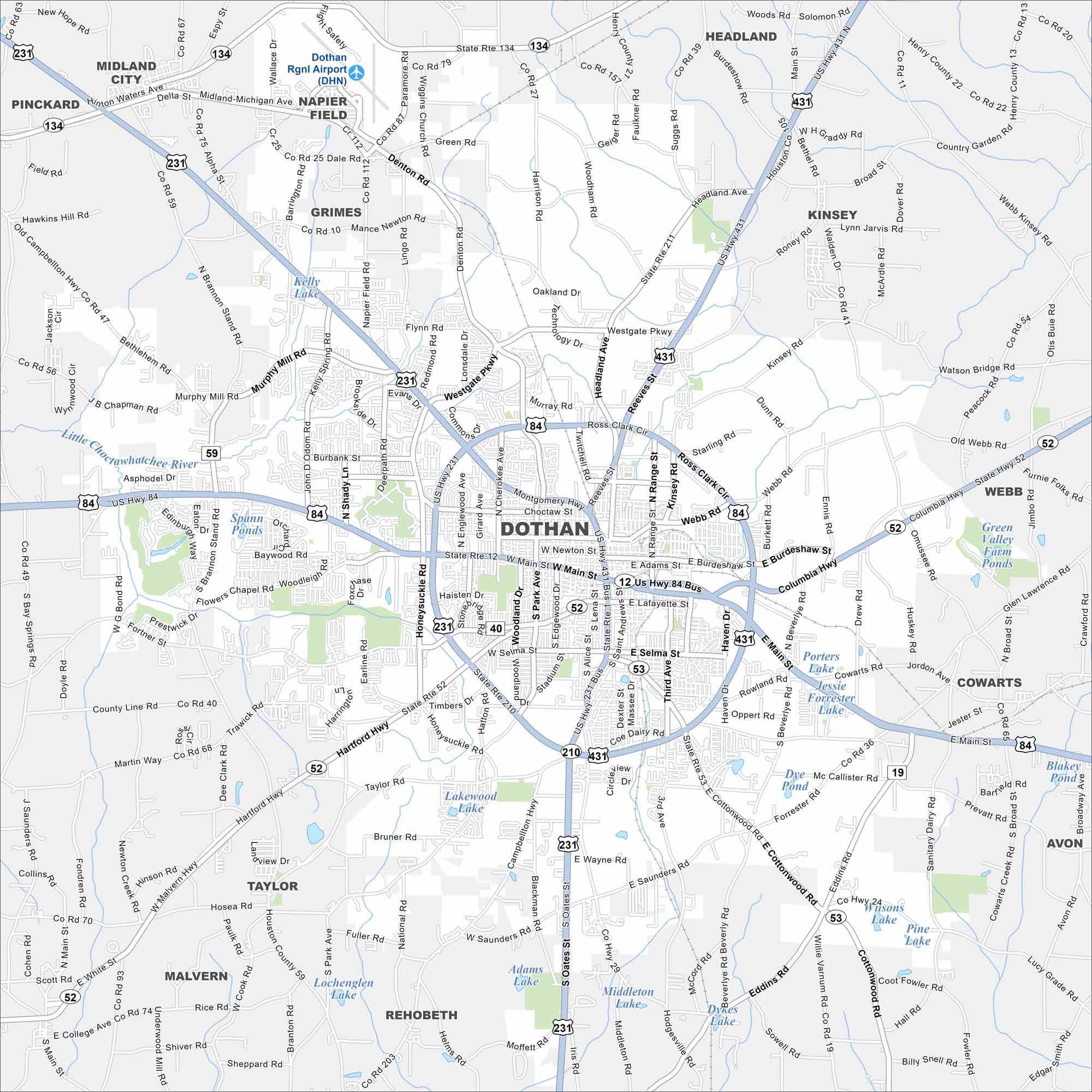
Dothan is in the southeast corner of Alabama near the Georgia and Florida borders. Our map shows highways converging and farmland stretching outward. It’s called the “Peanut Capital of the World” because of its crops.


Map Information
On the Map
Interstates/Highways: US Hwy 231, US Hwy 431, US Hwy 84, US Hwy 84 Bus, State Rte 52, State Rte 210, State Rte 134, State Rte 53, State Rte 12, State Rte 211. Major Roads: Ross Clark Cir, Montgomery Hwy, Main St, Westgate Pkwy, Hartford Hwy, Cottonwood Rd, Columbia Hwy, Reeves St, Headland Ave, Brannon Stand Rd, Murphy Mill Rd, Napier Field Rd, Denton Rd, Honeysuckle Rd, South Star Ave, Fortner St, Saunders Rd, Flowers Chapel Rd, Taylor Rd, Webb Rd. Airports: Dothan Rgnl Airport (DHN) Lakes and Reservoirs: Kelly Lake, Spann Ponds, Lakewood Lake, Adams Lake, Middleton Lake, Dykes Lake, Lochengleen Lake, Pine Lake, Wilsons Lake, Jessie Forrester Lake, Porters Lake, Mc Callister Pond, Dye Pond, Green Valley Farm Ponds, Blakey Pond Rivers and Creeks: Little Choctawhatchee River, Omussee Creek, Newton Creek Nearby Communities: Midland City, Pinckard, Napier Field, Grimes, Headland, Kinsey, Webb, Cowarts, Avon, Rehobeth, Taylor, MalvernAlabama City Maps
Here are our city maps of Alabama


