Map of Edgewood, Washington
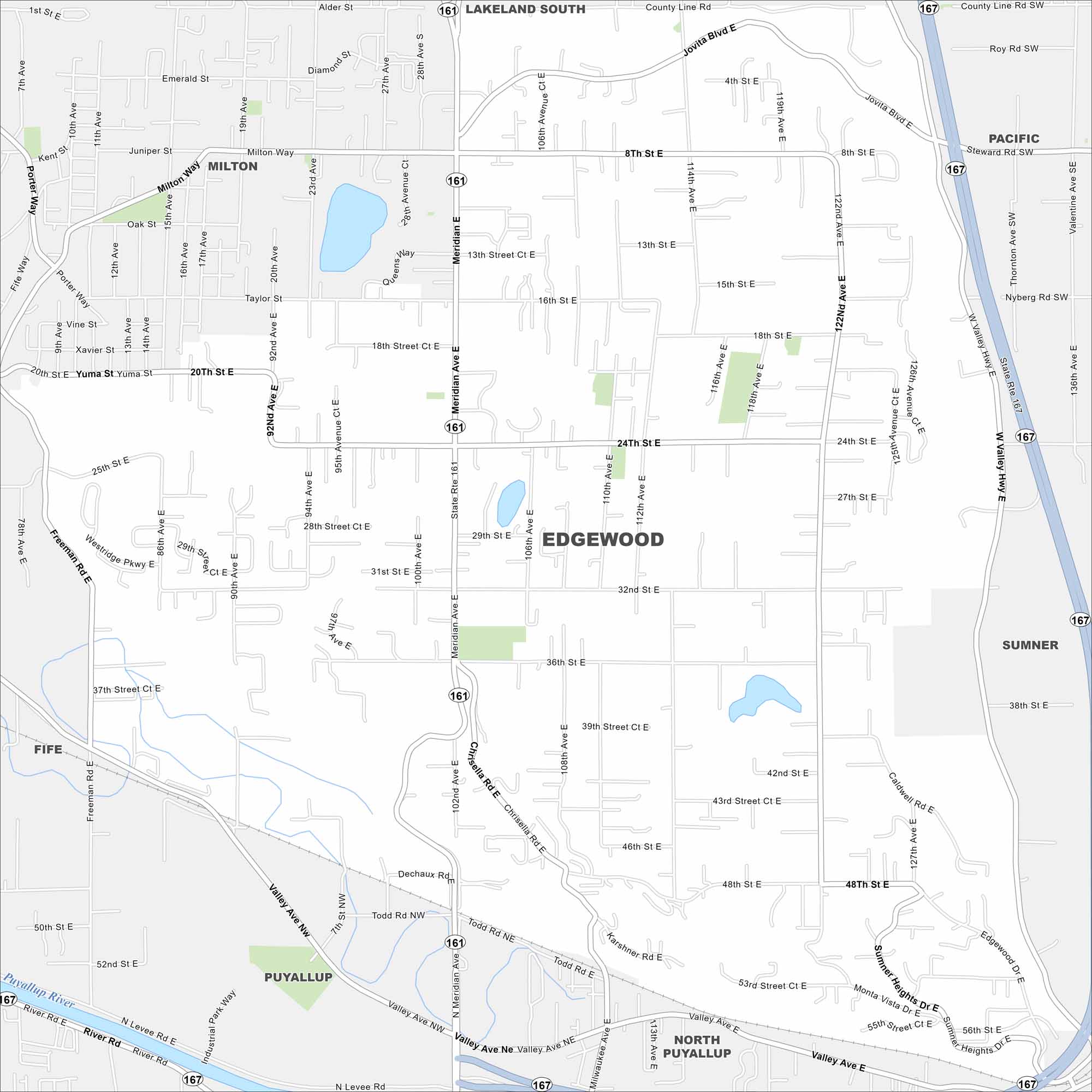
Check out Edgewood just north of Puyallup. Our map reveals this community bordered by rolling hills and open green spaces. It has wide views of Mount Rainier on a clear day.
Map Information
On the Map
Interstates/Highways: State Rte 161, State Rte 167 Major Roads: Meridian Ave, Valley Ave, Milton Way, Jovita Blvd, 8th St, 24th St, 32nd St, 36th St, 48th St, 56th St, 92nd Ave, 114th Ave, Freeman Rd, Westridge Pkwy, Chrisella Rd, Todd Rd, Karshner Rd, Sumner Heights Dr, 70th Ave, 122nd Ave Major Rivers: Puyallup River Nearby Communities: Lakeland South, Pacific, Milton, Sumner, Puyallup, North Puyallup, FifeWashington State Maps
Move through the Evergreen State with our map collection.


City Maps of Washington
Check out our city maps of Washington


