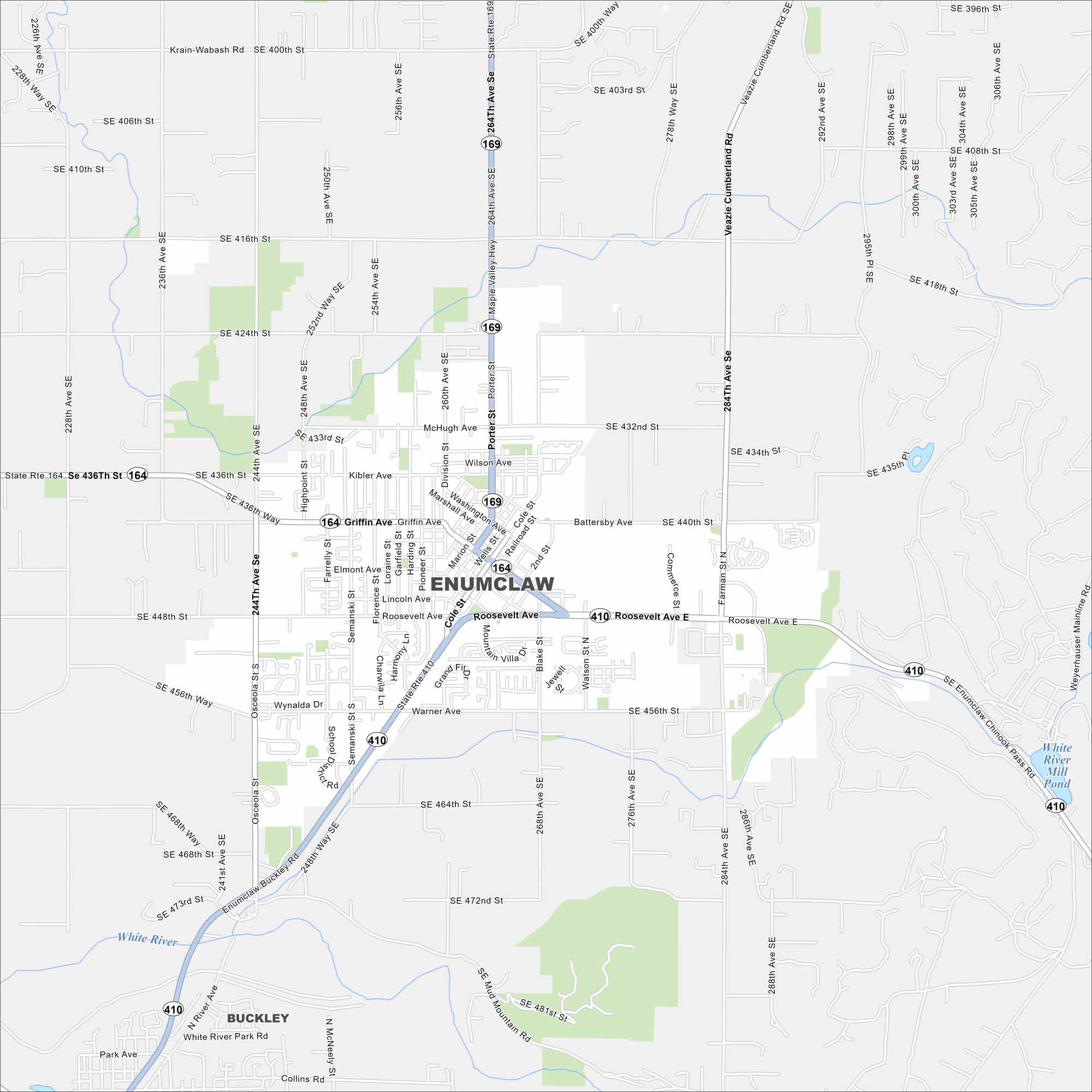
Map of Enumclaw, Washington
Enumclaw rests on a plateau near Mount Rainier. Farmland surrounds the area in every direction. That mountain backdrop dominates the view.
Map Information
On the Map
Interstates/Highways: State Rte 164, State Rte 169, State Rte 410 Major Roads: Griffin Ave, Roosevelt Ave, Porter St, Cole St, Monroe Ave, Watson St, Warner Ave, Battersby Ave, McHugh Ave, Wilson Ave, Kibler Ave, 244th Ave, 284th Ave, 400th St, 416th St, 432nd St, 456th St, 464th St, 472nd St, Veazie Cumberland Rd Lakes and Reservoirs: White River Mill Pond Major Rivers: White River Nearby Communities: BuckleyWashington State Maps
Move through the Evergreen State with our map collection.


City Maps of Washington
Check out our city maps of Washington


