Map of Gary, Indiana
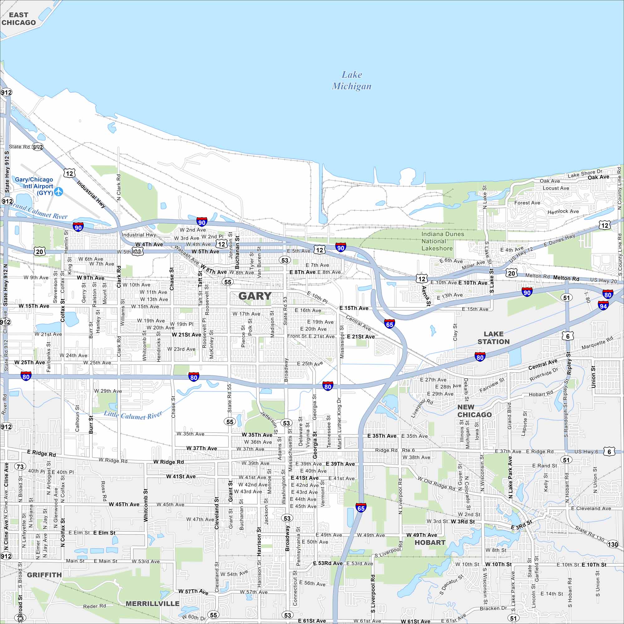
Get to know the major highways, city streets, and green areas. Our map of Gary shows its layout next to Lake Michigan. Gary is also known because of its steel industry past.
Indiana State Maps
Study about Indiana with our map collection


Map Information
On the Map
Interstates/Highways: I-80, I-90, I-94, US Hwy 12, US Hwy 20, State Rte 51, State Rte 53, State Rte 55, State Rte 912 Major Roads: Broadway, Ridge Rd, Industrial Hwy, 5th Ave, 15th Ave, 21st Ave, 25th Ave, 35th Ave, 37th Ave, 41st Ave, 47th Ave, Clark Rd, Chase St, Grant St, Burr St, Harrison St, Washington St, Central Ave, Melton Rd, Lake Shore Dr Airports: Gary/Chicago Intl Airport (GYY) Lakes and Reservoirs: Lake Michigan Major Rivers: Grand Calumet River, Little Calumet River Parks and Preserves: Indiana Dunes National Lakeshore Nearby Communities: East Chicago, Lake Station, Hobart, Merrillville, Griffith, New ChicagoIndiana City Maps
Here are our maps of Indianapolis and Indiana cities


