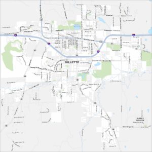
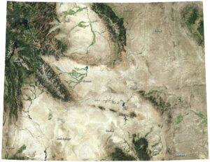
Map of Gillette, Wyoming
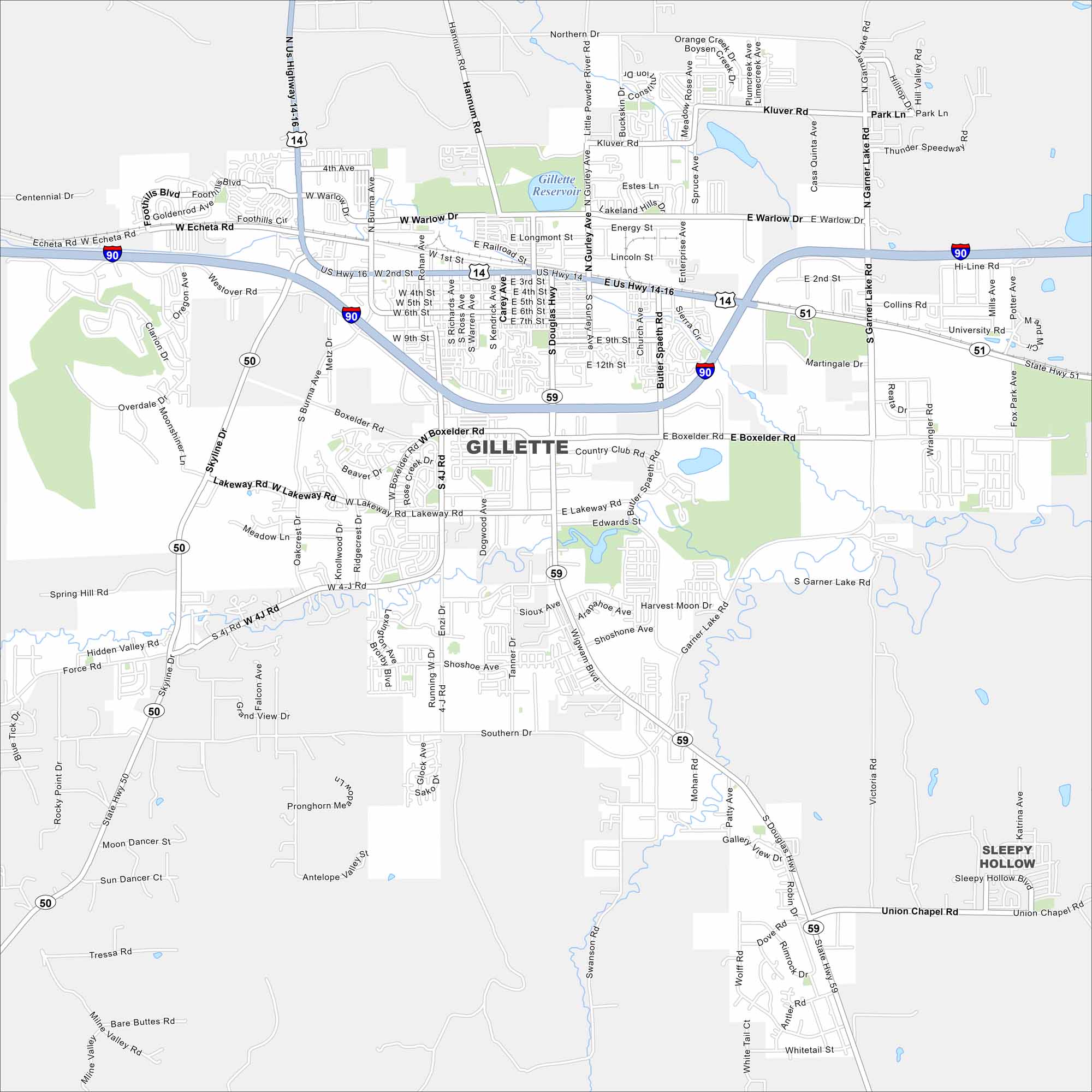
Gillette lies in northeast Wyoming surrounded by wide plains. It’s a hub for coal and energy because of nearby mining. Highways cross the map with open land stretching far out.
Map Information
On the Map
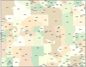
Interstates/Highways: I-90, US Hwy 14-16, US Hwy 14, US Hwy 16, State Hwy 50, State Hwy 51, State Hwy 59 Major Roads: Boxelder Rd, Lakeway Rd, Douglas Hwy, Garner Lake Rd, Gurley Ave, 2nd St, Warlow Dr, 4th St, 9th St, 12th St, Union Chapel Rd, Southern Dr, Echeta Rd, Brooks Ave, Hannum Rd, Foothills Blvd, Skyline Dr, Enzi Dr, 4-J Rd, Butler Spaeth Rd Lakes and Reservoirs: Gillette Reservoir Nearby Communities: Sleepy HollowWyoming State Maps
Check out our maps across wide plains and peaks.
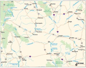


City Maps of Wyoming
Here’s Wyoming mapped from every angle