Map of Happy Valley, Oregon
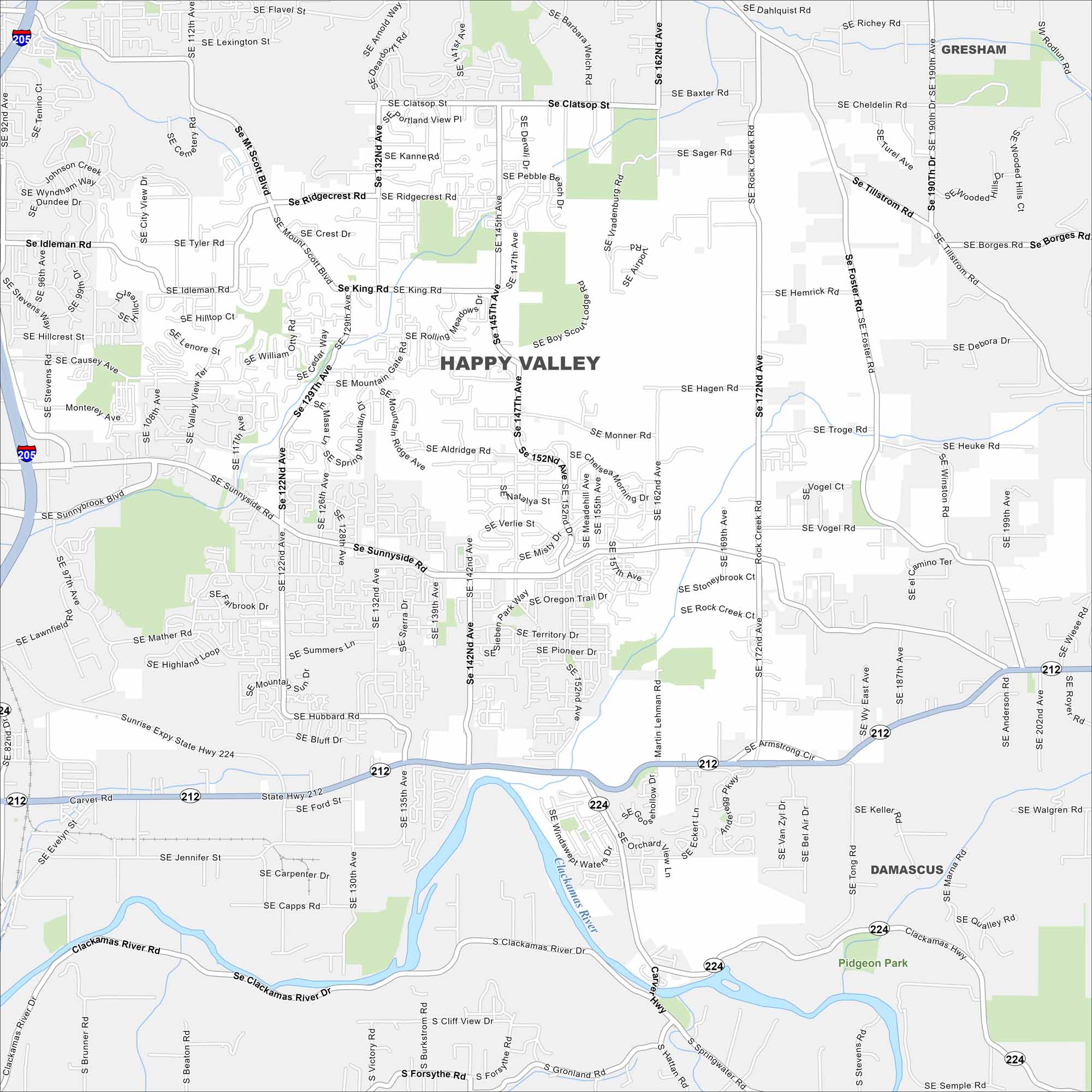
Happy Valley sits just southeast of Portland in northwestern Oregon. Our map of the city highlights neighborhoods, parks, and nearby road connections. The city is especially known for its scenic views of Mount Hood.
Map Information
On the Map
Interstates/Highways: I-205, State Hwy 212, State Hwy 224 Major Roads: Sunnyside Rd, 172nd Ave, 122nd Ave, 145th Ave, 152nd Ave, 190th Ave, 82nd Ave, 129th Ave, Mt Scott Blvd, Clackamas Hwy, 162nd Ave, Idleman Rd, King Rd, Foster Rd, Richey Rd, Clackamas River Dr, Mather Rd, Ridgecrest Rd, Hemrick Rd, Tillstrom Rd Major Rivers: Clackamas River Parks and Preserves: Pidgeon Park Nearby Communities: Gresham, DamascusOregon State Maps
Here is our state map collection of Oregon.


City Maps of Oregon
Get to know Portland and Oregon’s urban areas.


