Map of Hillsboro, Oregon
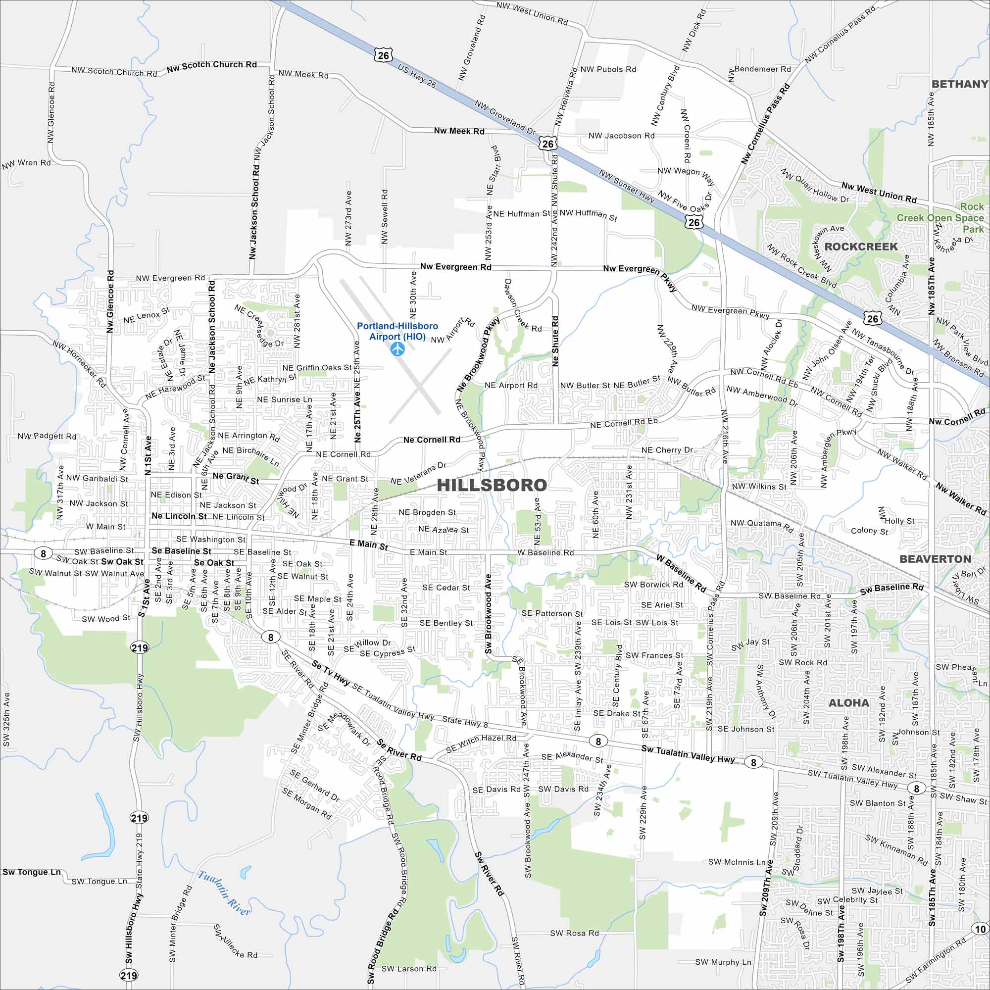
Hillsboro is in the Tualatin Valley just west of Portland. Our map shows farmland giving way to urban and built-up areas. Highways and rail lines connect it to the metro.
Map Information
On the Map
Interstates/Highways: US Hwy 26, State Hwy 8, State Hwy 10, State Hwy 219 Major Roads: Baseline Rd, Main St, Tualatin Valley Hwy, Cornell Rd, Cornelius Pass Rd, 185th Ave, 25th Ave, 229th Ave, Brookwood Pkwy, Shute Rd, Evergreen Pkwy, Glencoe Rd, Jackson School Rd, Scotch Church Rd, Meek Rd, West Union Rd, Walker Rd, Quatama Rd, River Rd, Farmington Rd Airports: Portland-Hillsboro Airport (HIO) Major Rivers: Tualatin River Parks and Preserves: Rock Creek Open Space Nearby Communities: Rockcreek, Bethany, Beaverton, AlohaOregon State Maps
Here is our state map collection of Oregon.


City Maps of Oregon
Get to know Portland and Oregon’s urban areas.


