Map of Kirkland, Washington
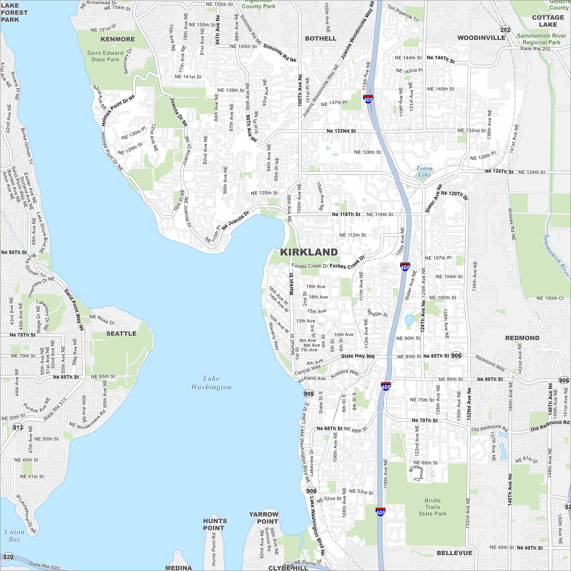
Kirkland is right on the shore of Lake Washington. Our map highlights highways, roads, and parks. Seattle sits just across the water.
Map Information
On the Map
Interstates/Highways: I-405, State Rte 908, State Rte 520, State Rte 513, State Rte 202 Major Roads: Market St, Lake Washington Blvd, Central Way, Kirkland Ave, Juanita Dr, Juanita Woodinville Way, Simonds Rd, Slater Ave, Willows Rd, Old Redmond Rd, 100th Ave, 116th Ave, 124th Ave, 132nd Ave, 85th St, 124th St, 132nd St, 144th St, Holmes Point Dr, Sand Point Way Lakes and Reservoirs: Lake Washington, Union Bay Major Rivers: Sammamish River Parks and Preserves: Saint Edward State Park, Bridle Trails State Park, Sammamish River Regional Park Nearby Communities: Kenmore, Bothell, Woodinville, Cottage Lake, Redmond, Bellevue, Medina, Clyde Hill, Yarrow Point, Hunts Point, Seattle, Lake Forest ParkWashington State Maps
Move through the Evergreen State with our map collection.


City Maps of Washington
Check out our city maps of Washington


