Map of Kokomo, Indiana
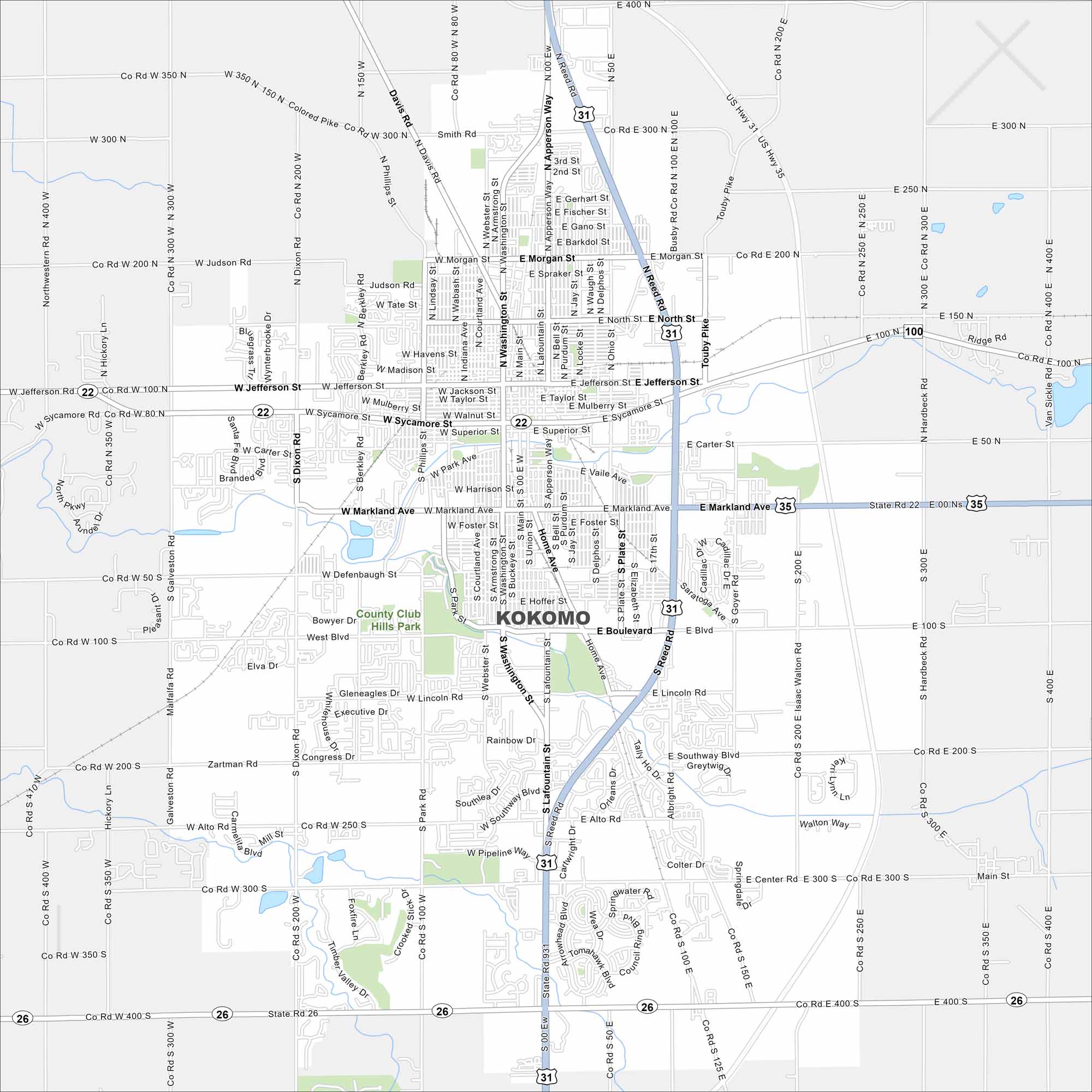
Our map of Kokomo shows a compact city grid with parks and small lakes. Highways cross nearby farmland. The city sits in north-central Indiana.
Indiana State Maps
Study about Indiana with our map collection


Map Information
On the Map
Interstates/Highways: US Hwy 31, US Hwy 35, State Rte 22, State Rte 26, State Rte 931 Major Roads: Jefferson St, Washington St, Main St, Markland Ave, Boulevard, Morgan St, North St, Sycamore St, Dixon Rd, Goyer Rd, Reed Rd, Apperson Way, Lafountain St, Alto Rd, Center Rd, Park Rd, Davis Rd, Smith Rd, Judson Rd, Hoffman St Parks and Preserves: County Club Hills ParkIndiana City Maps
Here are our maps of Indianapolis and Indiana cities


