Map of Lake Oswego, Oregon
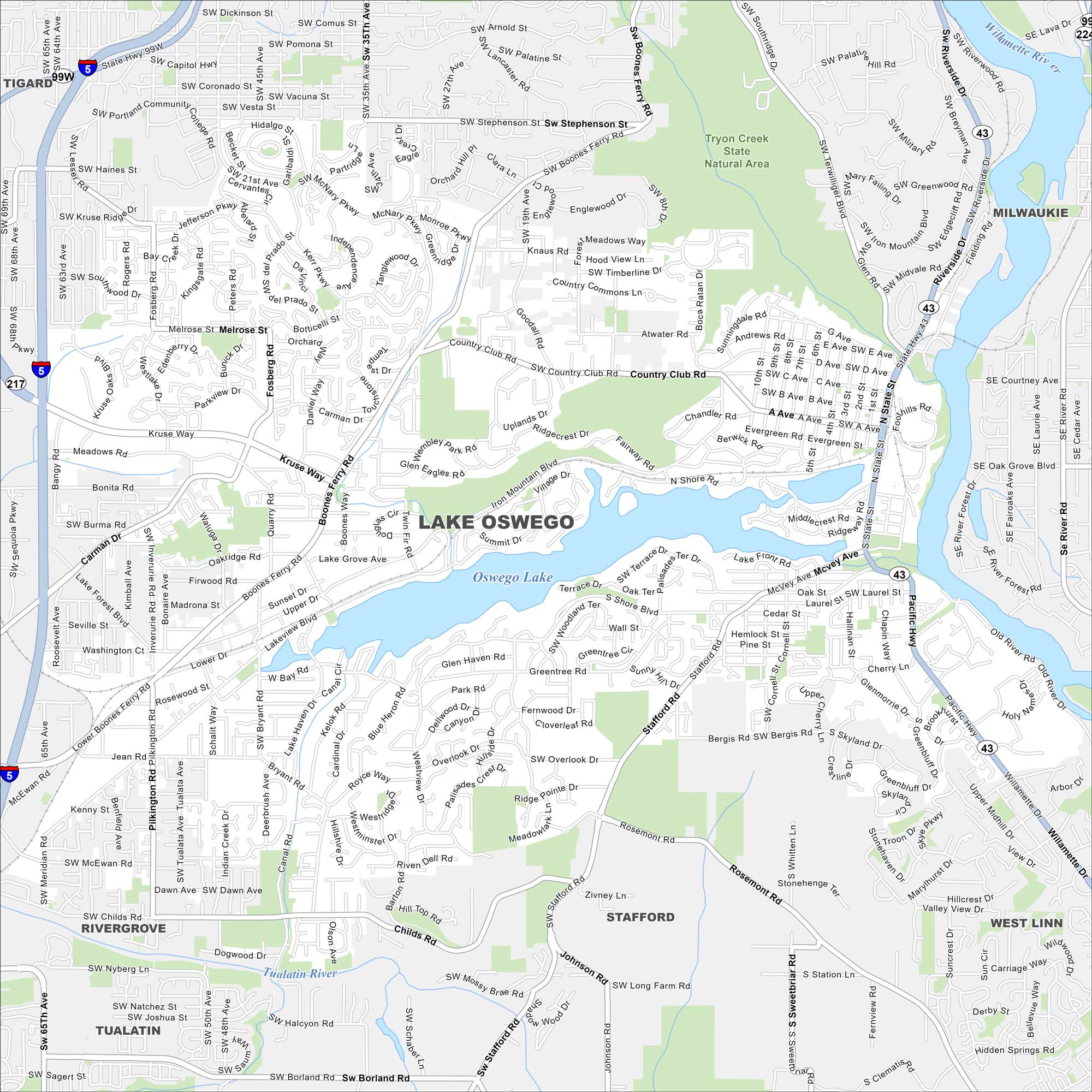
The city of Lake Oswego curves around Oswego Lake. This map highlights the lakes, rivers and winding roads. Portland lies just to the north.
Map Information
On the Map
Interstates/Highways: I-5, State Hwy 217, State Hwy 43, State Hwy 99W Major Roads: Boones Ferry Rd, Country Club Rd, Stafford Rd, McVey Ave, State St, Terwilliger Blvd, Kruse Way, Carman Dr, Pilkington Rd, Childs Rd, Borland Rd, South Shore Blvd, Bryant Rd, Iron Mountain Blvd, A Ave, B Ave, Stephenson St, Melrose St, Fosberg Rd, Quarry Rd Lakes and Reservoirs: Oswego Lake Major Rivers: Willamette River, Tualatin River Parks and Preserves: Tryon Creek State Natural Area Nearby Communities: Tigard, Milwaukie, West Linn, Stafford, Tualatin, RivergroveOregon State Maps
Here is our state map collection of Oregon.


City Maps of Oregon
Get to know Portland and Oregon’s urban areas.


