Map of Wilsonville, Oregon
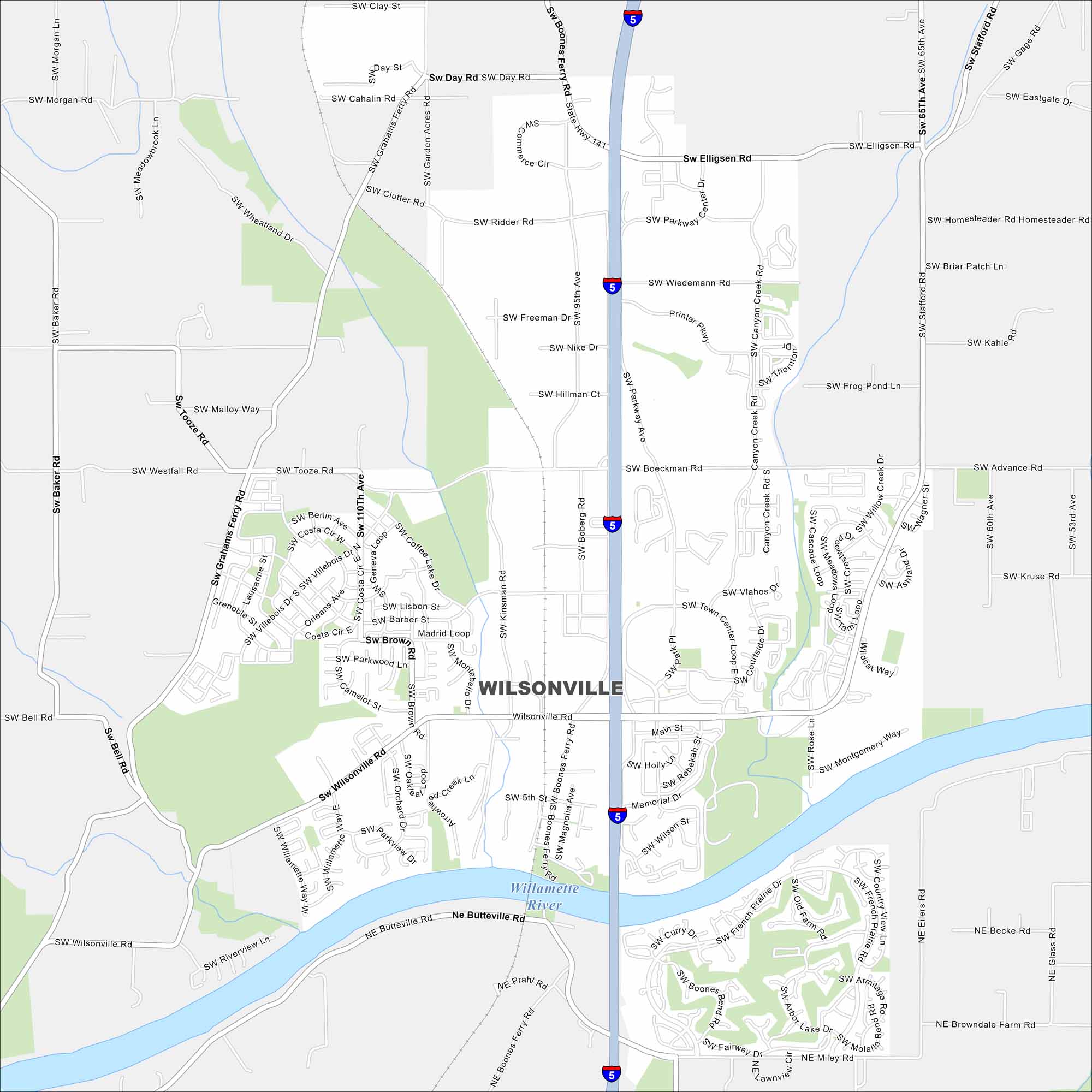
Our road map of Wilsonville shows this fast-growing city south of Portland. Parks, neighborhoods, and industry spread along the Willamette River. Interstate 5 cuts through from north to south.
Map Information
On the Map
Interstates/Highways: I-5, State Rte 141 Major Roads: Boones Ferry Rd, Wilsonville Rd, Elligsen Rd, Stafford Rd, Parkway Ave, Town Center Loop, Advance Rd, Grahams Ferry Rd, Tooze Rd, Ridder Rd, Day Rd, Barber St, Brown Rd, Kinsman Rd, Boberg Rd, Boeckman Rd, Villebois Dr, Butteville Rd, Miley Rd Major Rivers: Willamette RiverOregon State Maps
Here is our state map collection of Oregon.


City Maps of Oregon
Get to know Portland and Oregon’s urban areas.


