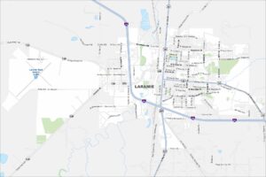
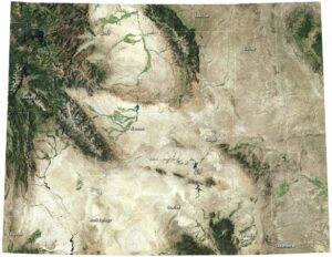
Map of Laramie, Wyoming
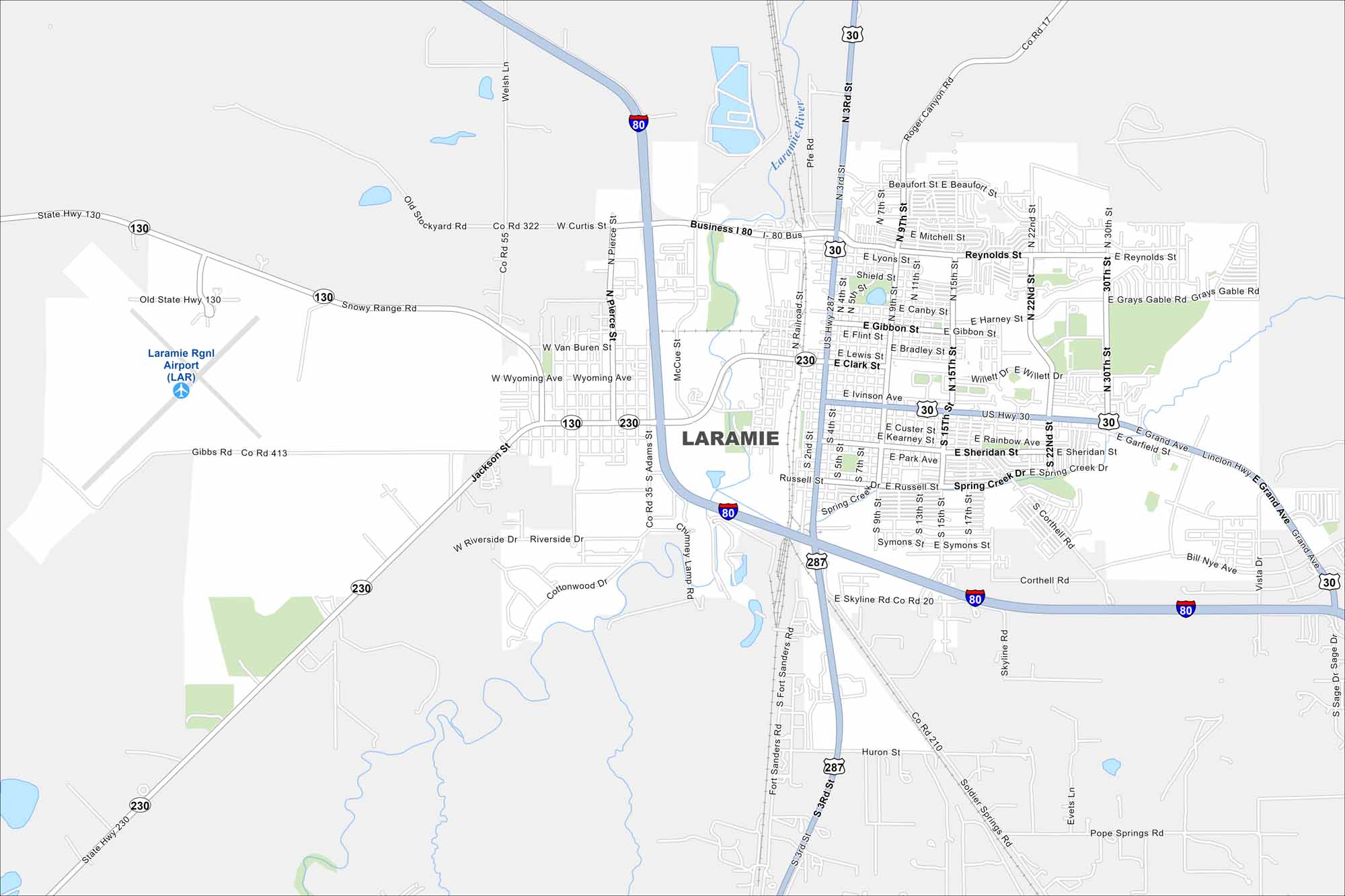
Laramie sits high in a wide mountain valley. Our map shows the railroad line running straight through town. The University of Wyoming takes up much of the center.
Map Information
On the Map
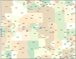
Interstates/Highways: I-80, US Hwy 30, US Hwy 287, State Hwy 130, State Hwy 230 Major Roads: Grand Ave, 3rd St, 15th St, 30th St, Curtis St, Reynolds St, Snowy Range Rd, Skyline Rd, Ivinson Ave, 9th St, Harney St, 22nd St, Bill Nye Ave, 4th St, 2nd St, Fort Sanders Rd, Soldier Springs Rd, Welsh Ln, Grays Gable Rd, Willett Dr Airports: Laramie Rgnl Airport (LAR) Major Rivers: Laramie RiverWyoming State Maps
Check out our maps across wide plains and peaks.
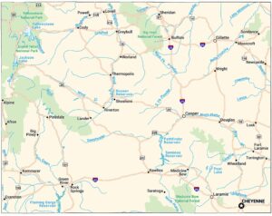


City Maps of Wyoming
Here’s Wyoming mapped from every angle