Map of Longview, Washington
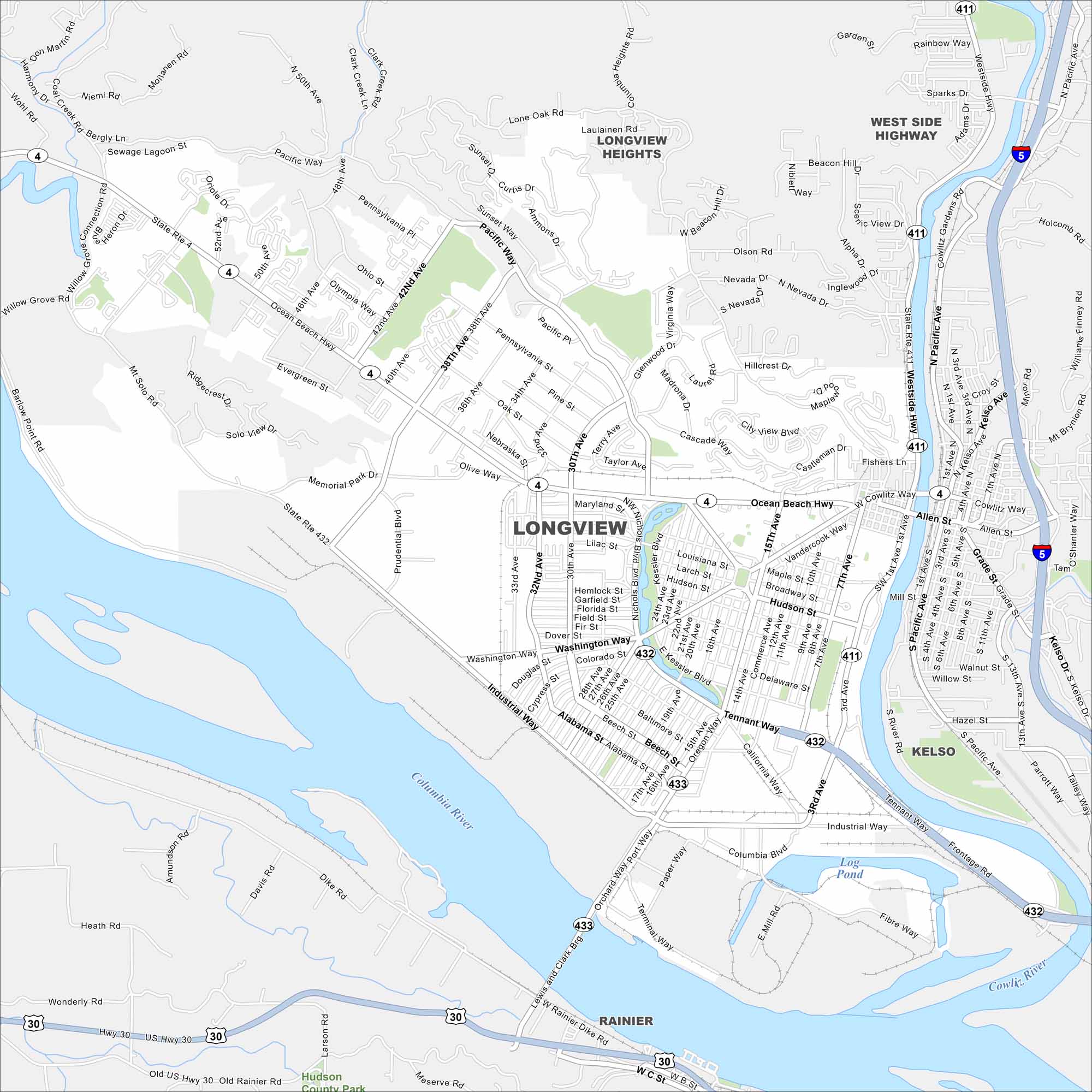
Our map of Longview follows the Columbia River on the city’s edge. Bridges link it to Oregon. Highways like I-5 spread out through forested hills.
Map Information
On the Map
Interstates/Highways: I-5, State Rte 4, State Rte 432, State Rte 411, US Hwy 30 Major Roads: Ocean Beach Hwy, Industrial Way, Tennant Way, Washington Way, 15th Ave, 30th Ave, 38th Ave, 42nd Ave, Pacific Way, 3rd Ave, 1st Ave, Kessler Blvd, Commerce Ave, Oregon Way, California Way, Columbia Blvd, 32nd Ave, Nichols Blvd, Westside Hwy, 7th Ave Major Rivers: Cowlitz River, Columbia River Parks and Preserves: Hudson County Park Nearby Communities: Longview Heights, West Side Highway, Kelso, RainierWashington State Maps
Move through the Evergreen State with our map collection.


City Maps of Washington
Check out our city maps of Washington


