Map of Mandeville, Louisiana
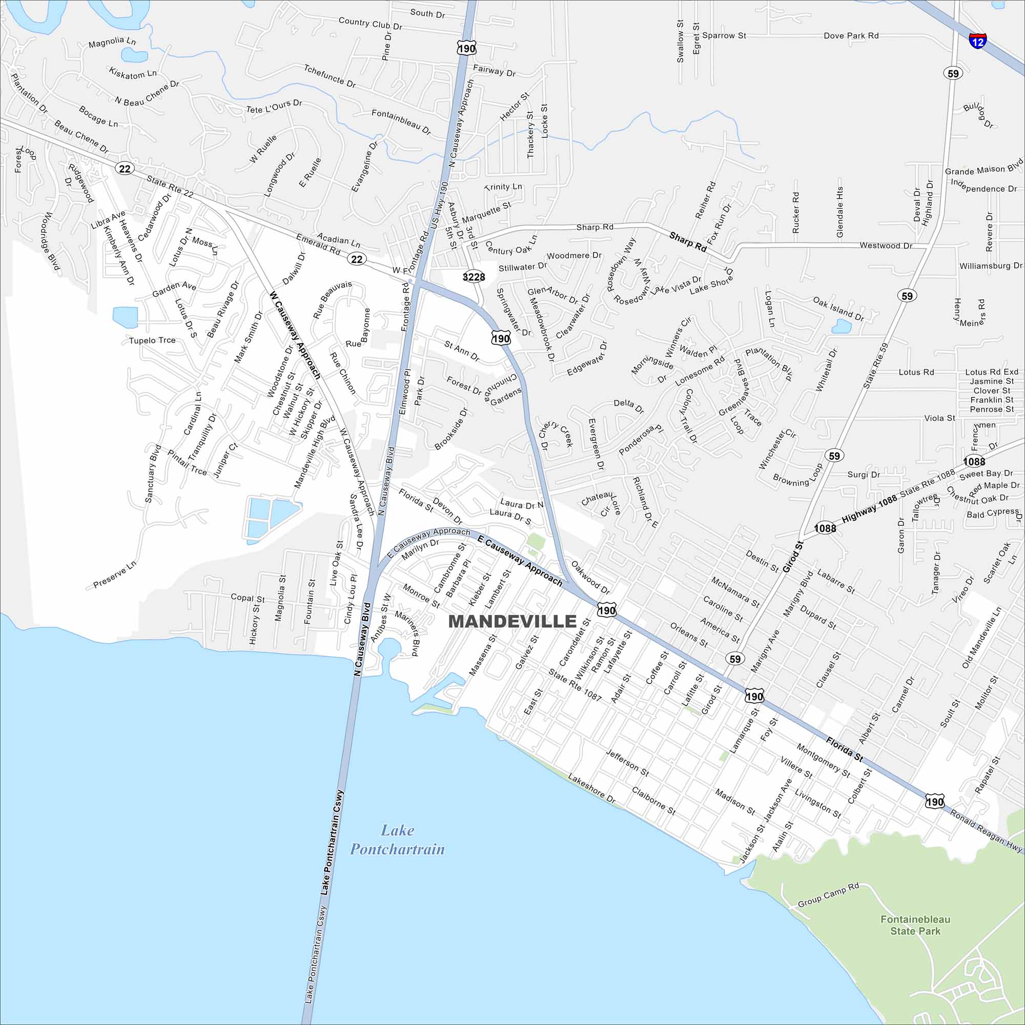
Take a look at Mandeville on the north shore of Lake Pontchartrain. Our map shows its highways curving toward New Orleans. Waterfront neighborhoods frame the city.
Louisiana State Maps
Here are maps showcasing the state of Louisiana


Map Information
On the Map
Interstates/Highways: I-12, US Hwy 190, State Rte 22, State Rte 59, State Rte 1087, State Rte 1088, State Rte 3228 Major Roads: Causeway Blvd, Florida St, East Causeway Approach, West Causeway Approach, Monroe St, Sharp Rd, Dove Park Rd, Highway 1088, Destin St, Girod St, Lakeshore Dr, Jefferson St, Madison St, Jackson St, Atalin St, Massena St, Galvez St, Carondelet St, Wilkinson St, Lafayette St Lakes and Reservoirs: Lake Pontchartrain Parks and Preserves: Fontainebleau State ParkCity Maps of Louisiana
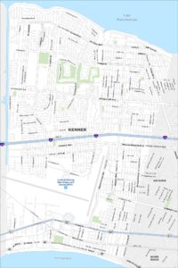
Explore New Orleans and Louisiana’s urban centers with our city maps