Map of Marysville, Washington
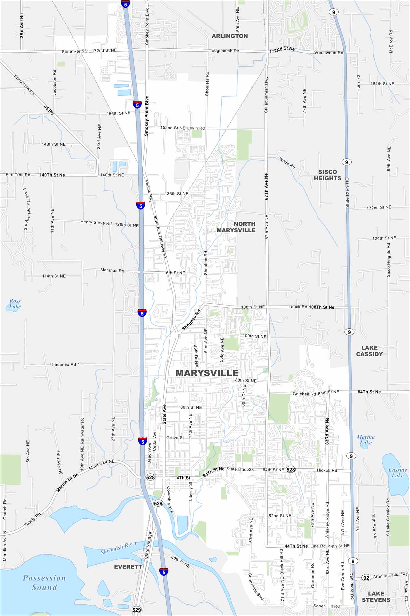
Marysville lies north of Everett along the Snohomish River. Our map highlights neighborhoods, highways, and the nearby Possession Sound.
Map Information
On the Map
Interstates/Highways: I-5, State Rte 528, State Rte 529, State Rte 9, State Rte 92 Major Roads: 64th St NE, 88th St NE, 4th St, 172nd St NE, 116th St NE, State Ave, 67th Ave NE, Smokey Point Blvd, Shoultes Rd, Marine Dr NE, 51st Ave NE, 83rd Ave NE, 44th St NE, Sunnyside Blvd, 52nd St NE, 136th St NE, 152nd St NE, 100th St NE, 108th St NE, 27th Ave NE Lakes and Reservoirs: Ross Lake, Martha Lake, Cassidy Lake, Lake Cassidy, Possession Sound Major Rivers: Skykomish River Nearby Communities: Arlington, Sisco Heights, North Marysville, Everett, Lake StevensWashington State Maps
Move through the Evergreen State with our map collection.


City Maps of Washington
Check out our city maps of Washington


