Map of Mercer Island, Washington
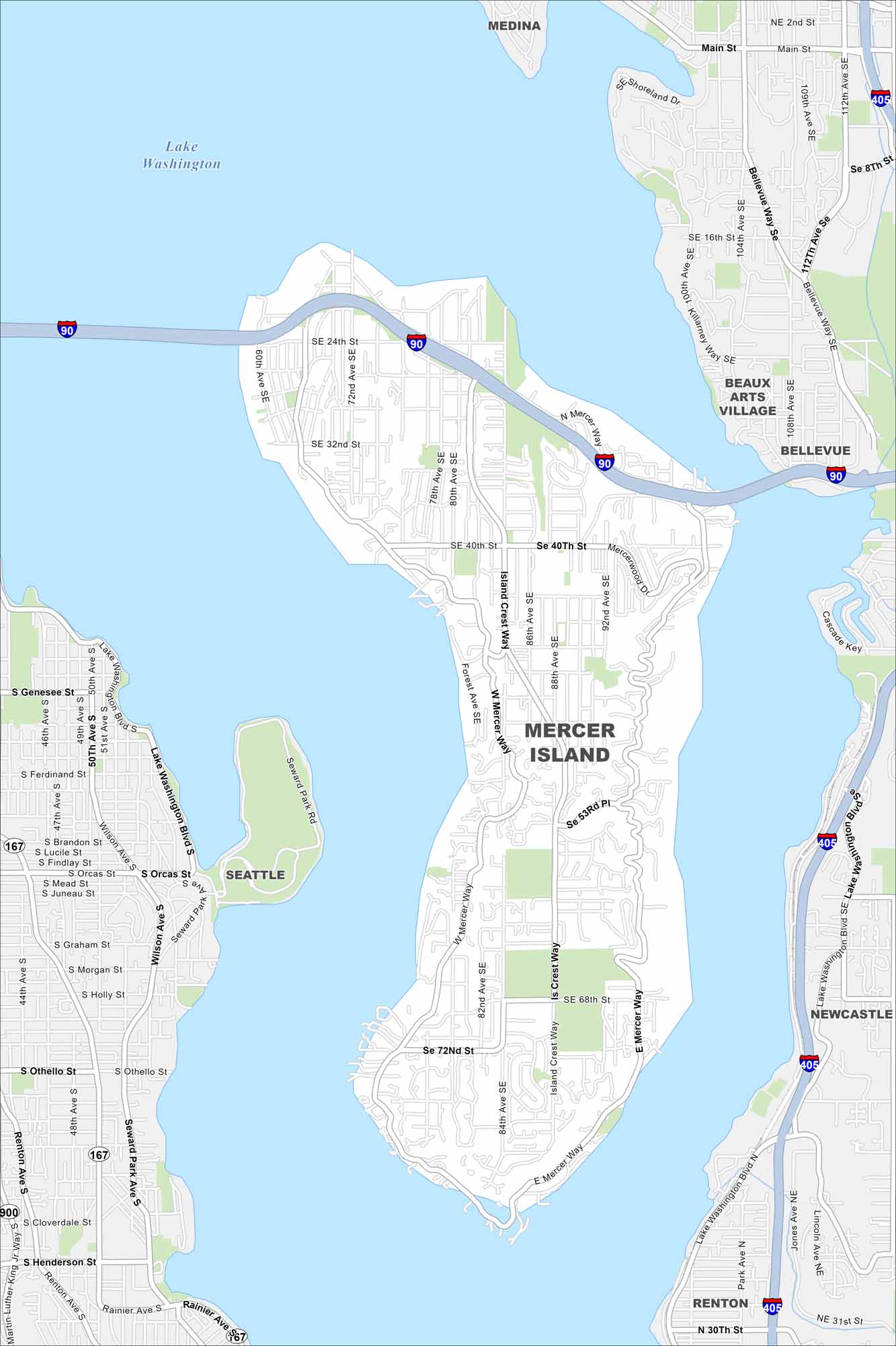
Our map of Mercer Island shows its unique placement in the middle of Lake Washington. Bridges connect it to Seattle and Bellevue. Neighborhoods and parks cover most of the island.
Map Information
On the Map
Interstates/Highways: I-90, I-405, State Rte 167 Major Roads: Island Crest Way, Mercer Way, 72nd Ave SE, 76th Ave SE, 84th Ave SE, 40th St, 24th St, 32nd St, 68th St, 72nd St, Rainier Ave, Lake Washington Blvd, Bellevue Way SE, 112th Ave SE, 108th Ave SE, 104th Ave SE, Seward Park Ave, Othello St, Henderson St, Main St Lakes and Reservoirs: Lake Washington Nearby Communities: Medina, Beaux Arts Village, Bellevue, Newcastle, Renton, SeattleWashington State Maps
Move through the Evergreen State with our map collection.


City Maps of Washington
Check out our city maps of Washington


