Map of Woodburn, Oregon
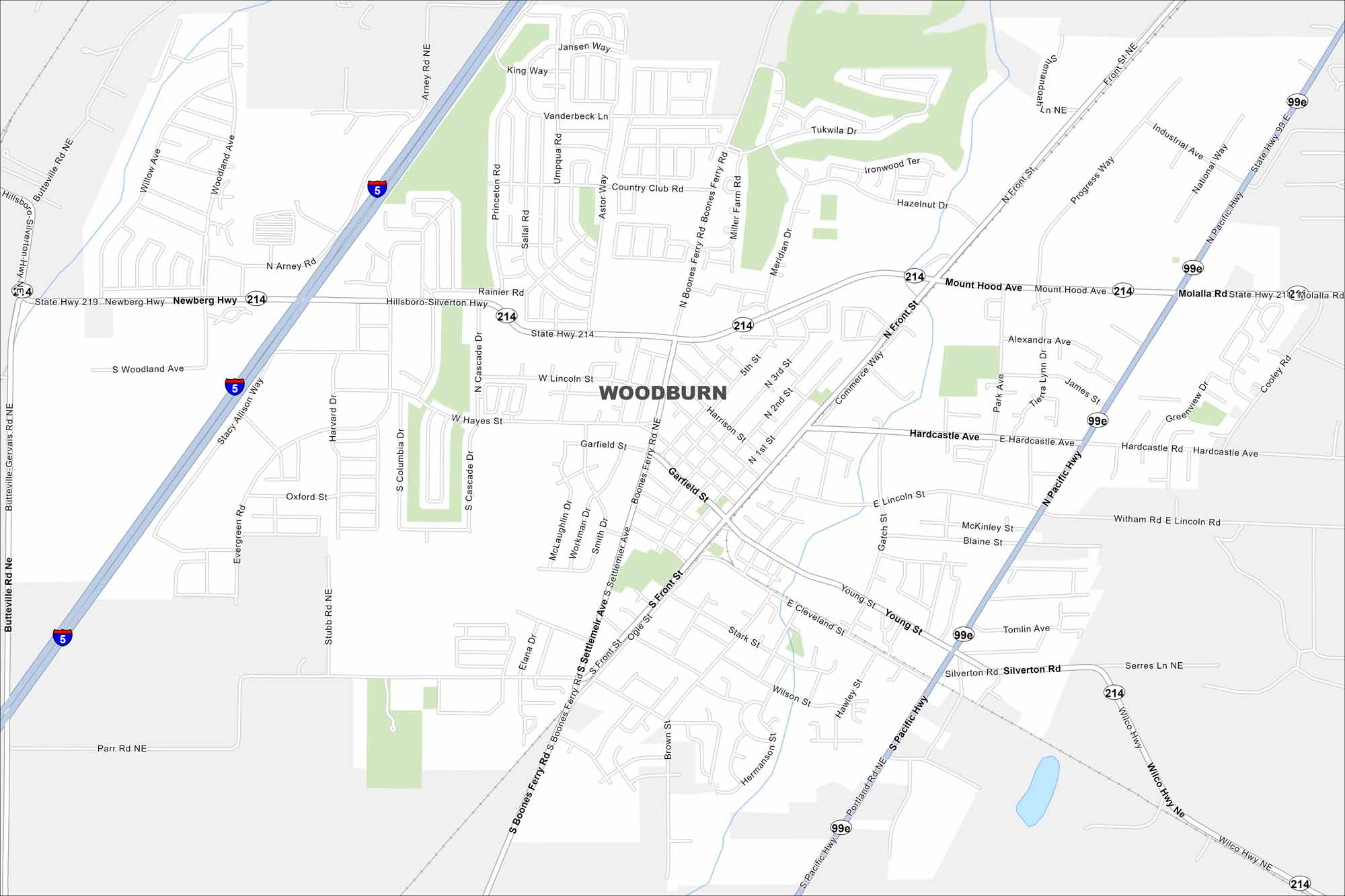
This Woodburn map shows its farming roots and growing neighborhoods. The city is also known for its close proximity to I-5.
Map Information
On the Map
Interstates/Highways: I-5, State Rte 214, State Rte 211, State Rte 99E Major Roads: Pacific Hwy, Hillsboro Silverton Hwy, Molalla Rd, Boones Ferry Rd, Settlemier Ave, Front St, Hardcastle Ave, Lincoln St, Hayes St, Garfield St, Cleveland St, Young St, Wilson St, Cascade Dr, Arney Rd, Butteville Rd, Parr Rd, Wilco Hwy, Silverton RdOregon State Maps
Here is our state map collection of Oregon.


City Maps of Oregon
Get to know Portland and Oregon’s urban areas.


