Map of Mukilteo, Washington
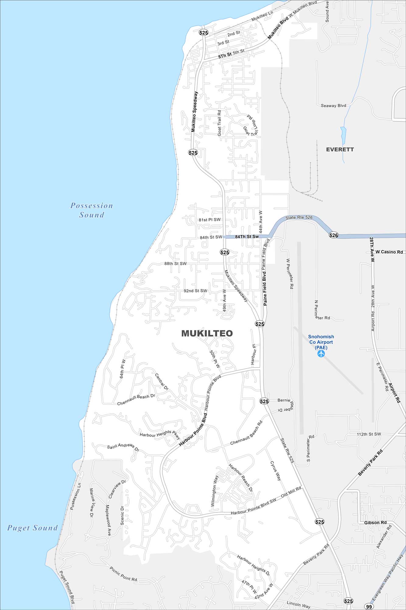
Check out Mukilteo with our map of Puget Sound. It’s not too populated here with neighborhoods stretching up into forested hills. The ferry terminal and waterfront are stand-outs along with the nearby Boeing Everett plant.
Map Information
On the Map
Interstates/Highways: State Rte 525, State Rte 526, State Rte 99 Major Roads: Mukilteo Speedway, Harbour Pointe Blvd, Paine Field Blvd, Beverly Park Rd, Seaway Blvd, Casino Rd, Airport Rd, Evergreen Way Pacific Hwy, Harbour Heights Pkwy, Chennault Beach Rd, Picnic Point Rd, 84th St, 92nd St, 112th St, 44th Ave, 28th Ave, 5th St, 50th Pl, Central Dr, Cyrus Way Airports: Snohomish Co Airport (PAE) Lakes and Reservoirs: Possession Sound, Puget Sound Nearby Communities: EverettWashington State Maps
Move through the Evergreen State with our map collection.


City Maps of Washington
Check out our city maps of Washington


