Map of Muscle Shoals, Alabama
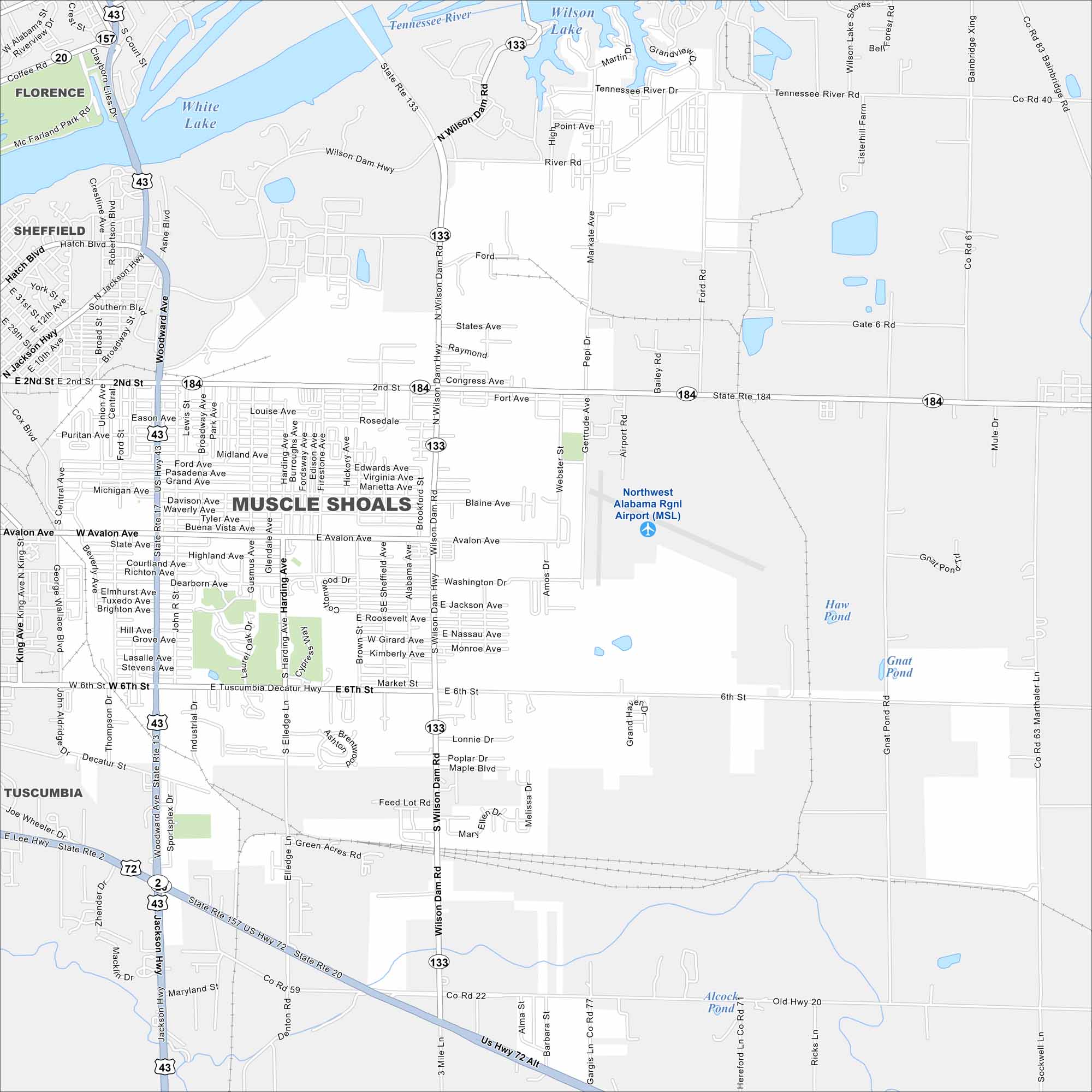
Take a look at Muscle Shoals with our map of northern Alabama. The city lies along the Tennessee River, with neighborhoods and industry nearby. It’s world famous for its recording studios.


Map Information
On the Map
Interstates/Highways: US Hwy 43, US Hwy 72, US Hwy 72 Alt, State Rte 2, State Rte 13, State Rte 17, State Rte 20, State Rte 133, State Rte 157 Major Roads: Wilson Dam Hwy (Hwy 133), Woodward Ave, Avalon Ave, Hatch Blvd, 2nd St, 6th St, Reservation Rd, Michigan Ave, E 2nd St, River Rd, Sportsplex Dr, Old Hwy 20, Alabama Ave, Main St, Martin Dr, Denton Rd, Broadway St, Airport Rd, Montgomery Ave, George Wallace Blvd Airports: Northwest Alabama Regional Airport (MSL) Lakes and Reservoirs: Wilson Lake, White Lake, Haw Pond Rivers and Creeks: Tennessee River Nearby Communities: Florence, Sheffield, TuscumbiaAlabama City Maps
Here are our city maps of Alabama


