Map of Newberg, Oregon
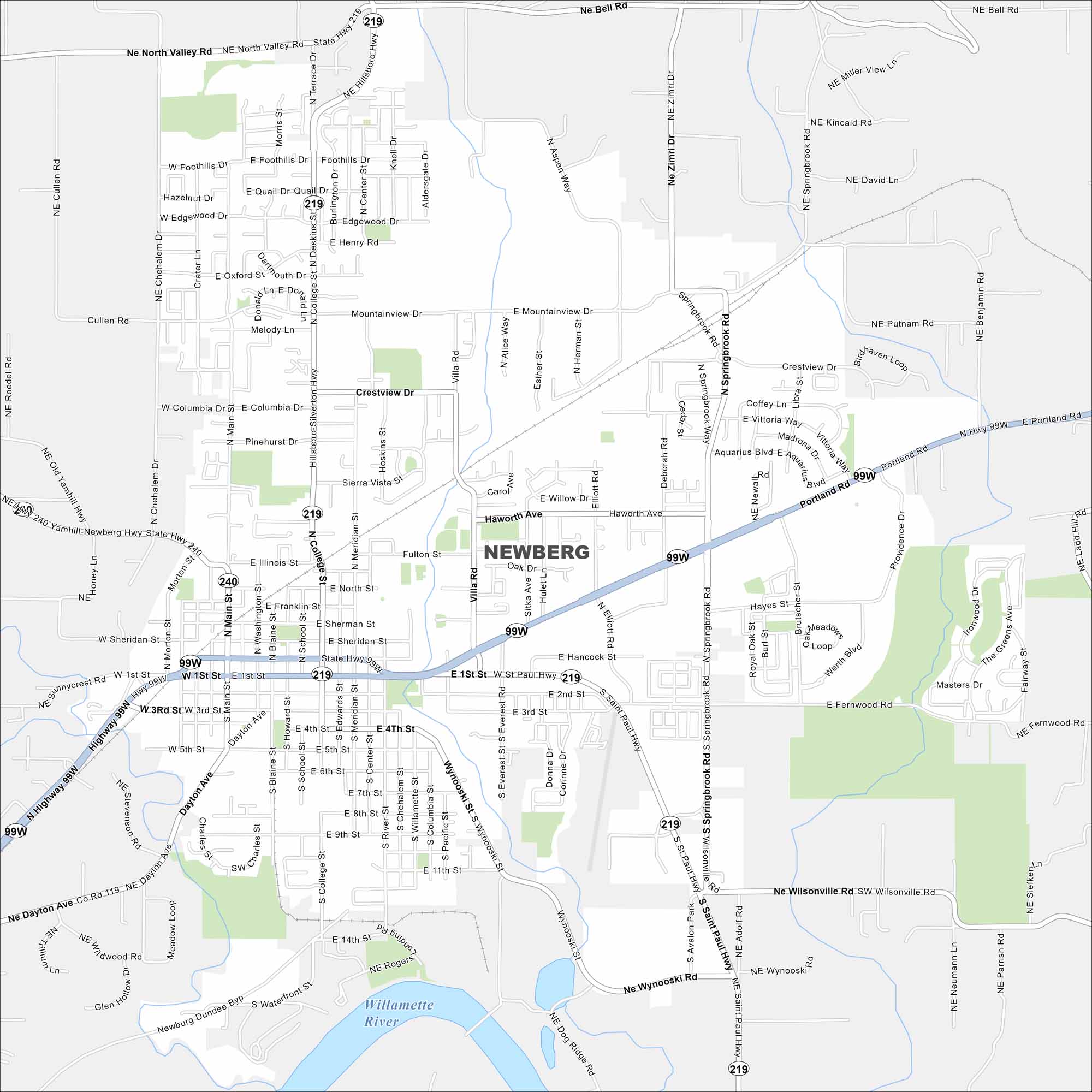
Newberg rests in the Willamette Valley wine country. Our map shows its compact downtown along the Willamette River with farmland beyond. George Fox University sits at the city’s center.
Map Information
On the Map
Interstates/Highways: State Hwy 219, State Hwy 240, US Hwy 99W Major Roads: Portland Rd, Hancock St, First St, College St, Villa Rd, Main St, Mountainview Dr, Dayton Ave, Wilsonville Rd, Crestview Dr, Wynooski Rd, Haworth Ave, Illinois St, North Valley Rd, River Rd, Bell Rd, Foothills Dr, Springbrook Rd, Zimri Dr, Columbia Dr Major Rivers: Willamette RiverOregon State Maps
Here is our state map collection of Oregon.


City Maps of Oregon
Get to know Portland and Oregon’s urban areas.


