Map of Oak Harbor, Washington
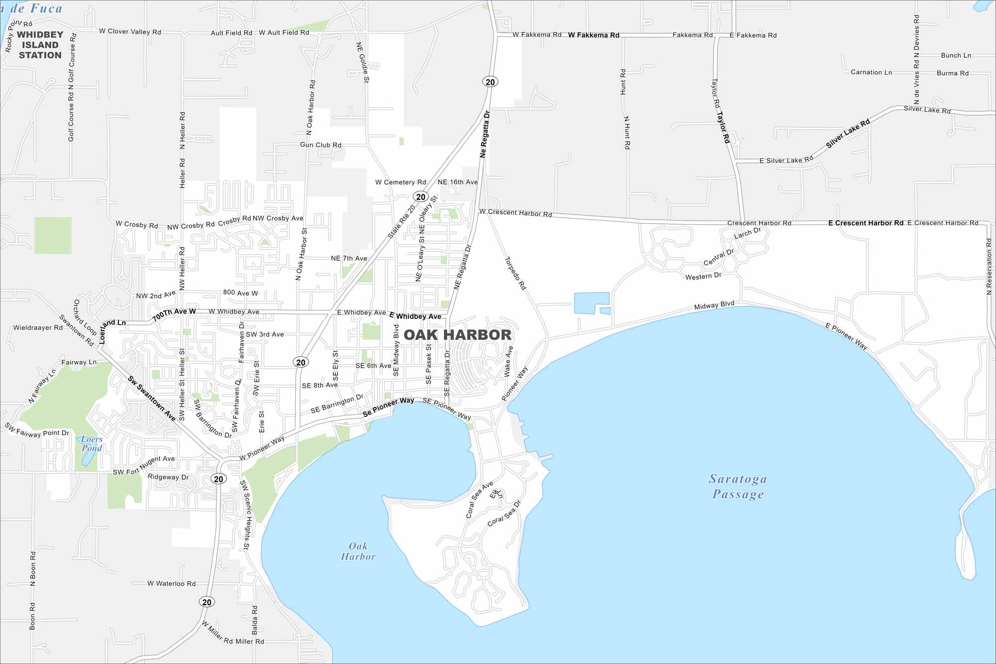
Oak Harbor is located on Whidbey Island in Puget Sound. Our map shows a compact downtown and neighborhoods by the shoreline. The city overlooks scenic waters and surrounding islands.
Map Information
On the Map
Interstates/Highways: State Rte 20 Major Roads: Pioneer Way, Whidbey Ave, Midway Blvd, Heller Rd, Oak Harbor St, Regatta Dr, Crescent Harbor Rd, Swantown Rd, Scenic Heights Rd, Torpedo Rd, Ault Field Rd, Golf Course Rd, Goldie St, Gun Club Rd, Cemetery Rd, Barrington Dr, Ely St, Pasek St, Wake Ave, Miller Rd Lakes and Reservoirs: Saratoga Passage, Oak Harbor Nearby Communities: Whidbey Island StationWashington State Maps
Move through the Evergreen State with our map collection.


City Maps of Washington
Check out our city maps of Washington


