Map of Oregon City, Oregon
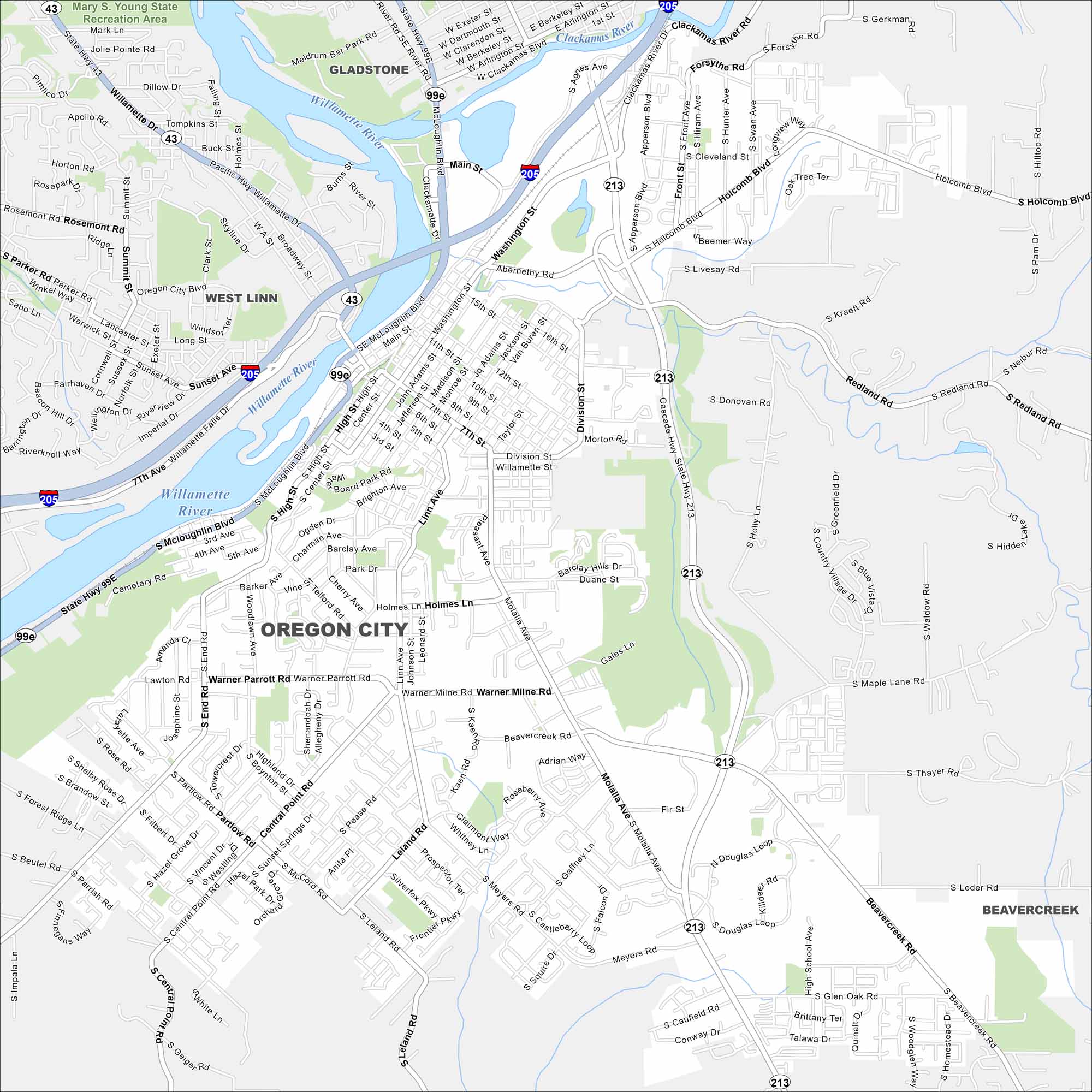
Oregon City sits on the Willamette River south of Portland. Check out the map to see its riverside downtown and hills rising behind it. It was the first incorporated city west of the Rockies.
Map Information
On the Map
Interstates/Highways: I-205, US Hwy 99E, State Hwy 43, State Hwy 213, State Hwy 211 Major Roads: Molalla Ave, Beavercreek Rd, Washington St, Main St, McLoughlin Blvd, Warner Milne Rd, 7th St, Division St, Linn Ave, Central Point Rd, Holcomb Blvd, Henrici Rd, Leland Rd, Meyers Rd, Gaffney Ln, Caufield Rd, South End Rd, High St, Sunset Ave, Glen Oak Rd Major Rivers: Willamette River, Clackamas River Parks and Preserves: Mary S. Young State Recreation Area Nearby Communities: West Linn, Gladstone, BeavercreekOregon State Maps
Here is our state map collection of Oregon.


City Maps of Oregon
Get to know Portland and Oregon’s urban areas.


