Map of Yorktown, Indiana
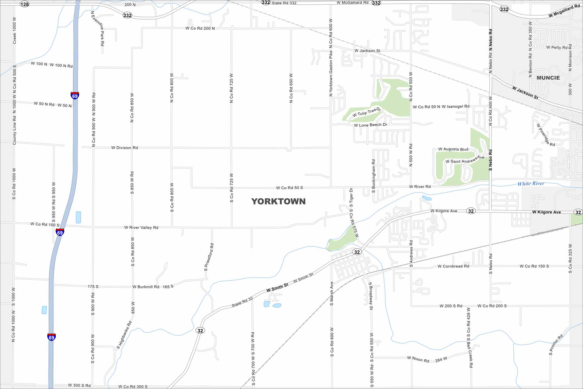
Here’s our map of Yorktown, a small town near Muncie. Local parks and quiet neighborhoods shape its layout. I-69 gives its location some convenience too.
Indiana State Maps
Study about Indiana with our map collection


Map Information
On the Map
Interstates/Highways: I-69, State Rte 32, State Rte 332 Major Roads: Kilgore Ave, River Rd, Smith St, Cornbread Rd, Jackson St, Nebo Rd, Tiger Dr, Marsh Ave, Broadway St, Division Rd, 600 W, 500 W, 400 W, 800 W, 900 W, 1000 W, 100 N, 200 N, 200 S, 300 S Major Rivers: White River Nearby Communities: MuncieIndiana City Maps
Here are our maps of Indianapolis and Indiana cities


