Map of Ozark, Alabama
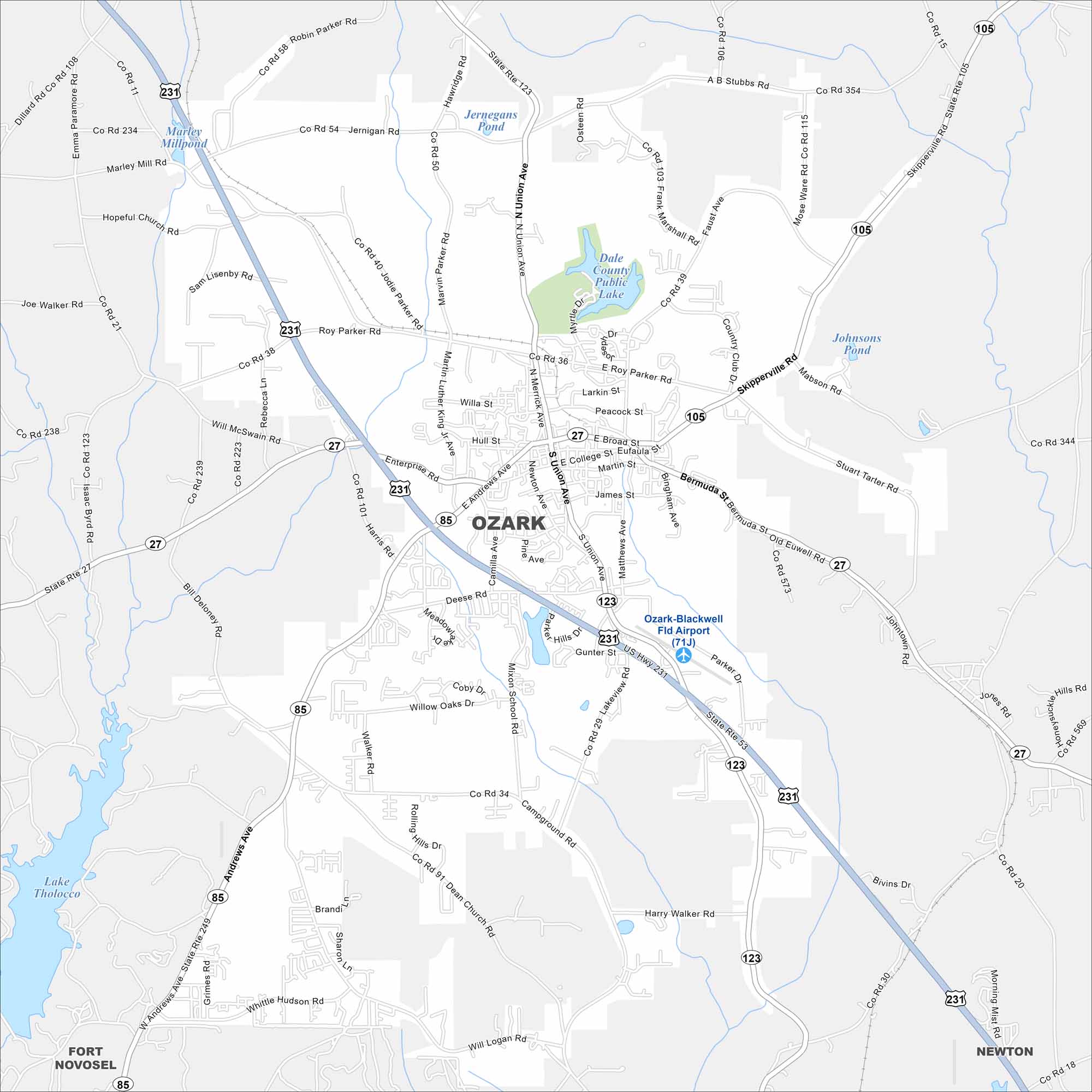
Ozark lies in southeastern Alabama near Fort Novosel and serves as a gateway to the Wiregrass region. Check out this map to see suburban streets mixed with wooded areas.


Map Information
On the Map
Interstates/Highways: US 231, US 27, US 85, US 105, AL 123 Major Roads: Roy Parker Rd, E Roy Parker Rd, Andrews Ave, Enterprise Rd, Deese Rd, Will McDaniel Rd, Joe Walker Rd, Stuart Irwin Rd, Harry Walker Rd, Willa St, Hull St, E Broad St, College St, James St, Union Ave Airports: Ozark-Blackwell Fld Airport (71J) Lakes and Reservoirs: Dale County Public Lake, Jernegans Pond, Johnsons Pond, Lake Tholocco, Marley Millpond Nearby Communities: Fort Novosel, NewtonAlabama City Maps
Here are our city maps of Alabama


