Map of Pasco, Washington
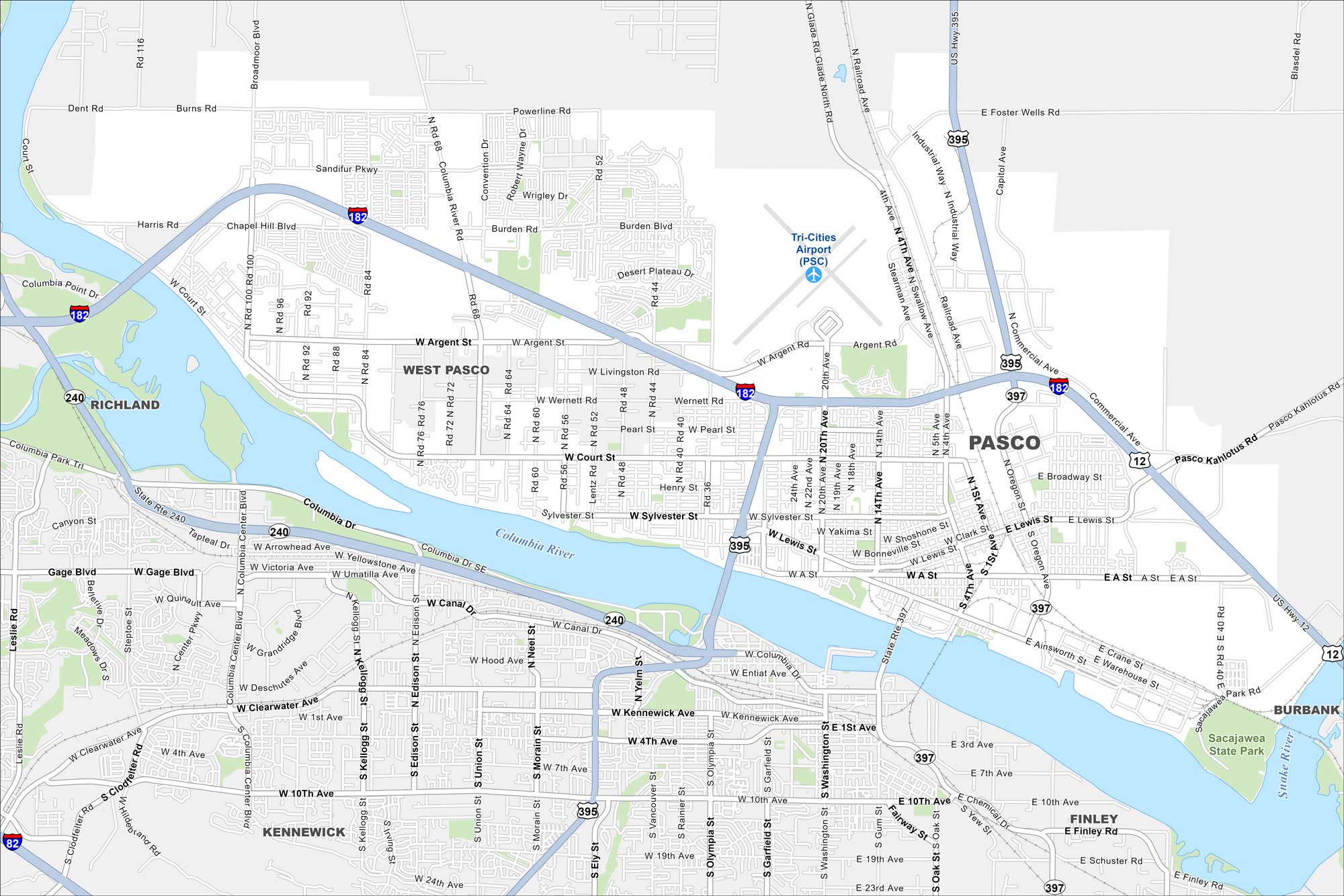
Pasco sits along the Columbia River in the Tri-Cities region. Take a look at our map to see parks, highways, and riverfront development. But agriculture drives much of the local economy.
Map Information
On the Map
Interstates/Highways: I-182, I-82, US Hwy 395, State Rte 240, State Rte 397 Major Roads: Court St, Argent Rd, 20th Ave, 4th Ave, Sylvester St, Lewis St, Road 68, Road 100, Broadmoor Blvd, Sandifur Pkwy, Burden Blvd, Convention Dr, Commercial Ave, Oregon Ave, Columbia Center Blvd, Edison St, Union St, Clearwater Ave, Kennewick Ave, 10th Ave Airports: Tri-Cities Airport (PSC) Major Rivers: Columbia River, Snake River Nearby Communities: West Pasco, Richland, Kennewick, Finley, BurbankWashington State Maps
Move through the Evergreen State with our map collection.


City Maps of Washington
Check out our city maps of Washington


