Map of Richmond, Indiana
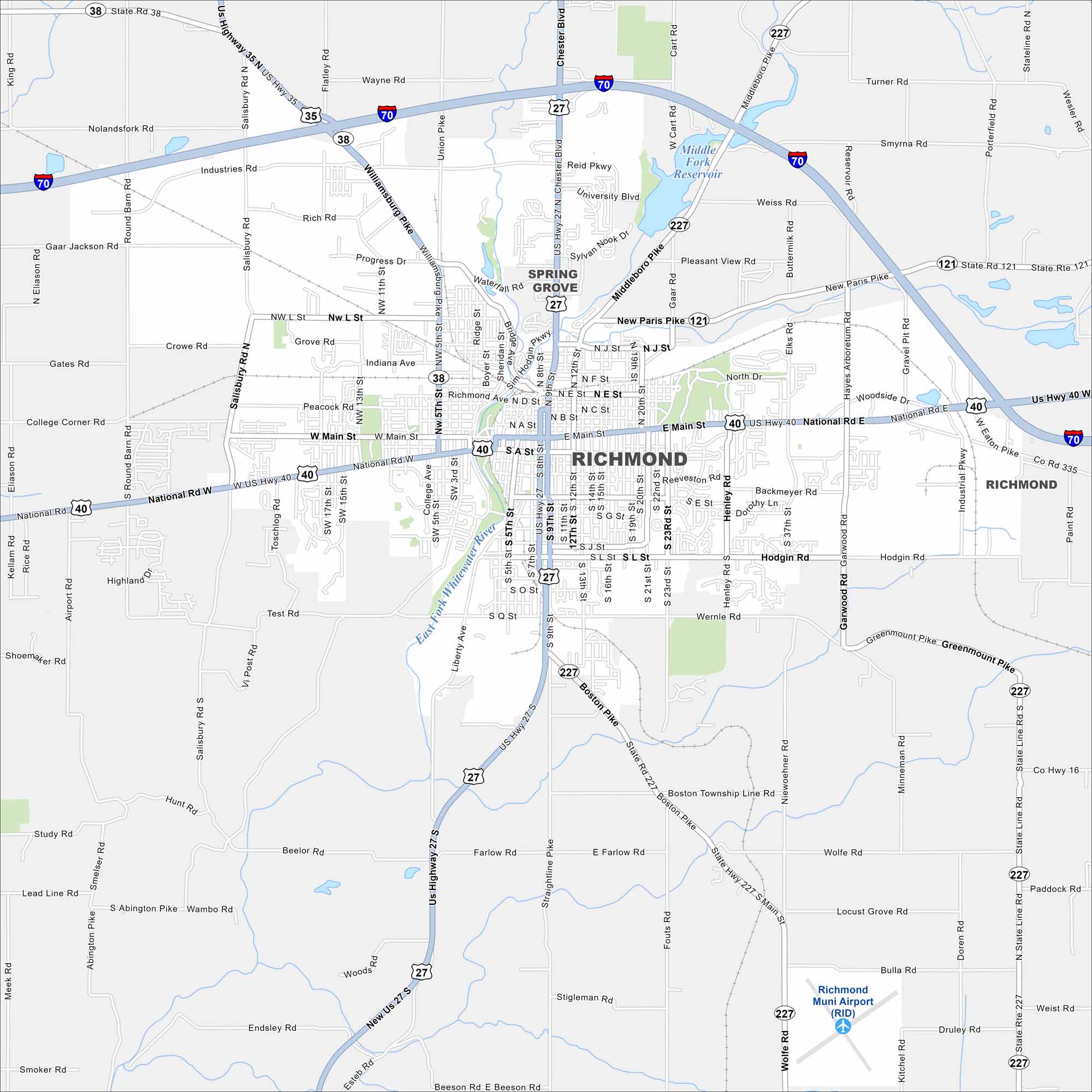
Richmond sits close to the Ohio border and carries a lot of history in its streets. It’s especially known for its jazz heritage and historic architecture. With our map, you can explore downtown and all of its surroundings.
Indiana State Maps
Study about Indiana with our map collection


Map Information
On the Map
Interstates/Highways: I-70, US Hwy 27, US Hwy 35, US Hwy 40, State Rte 38, State Rte 121, State Rte 227 Major Roads: Main St, National Rd, Salisbury Rd, Chester Blvd, Williamsburg Pike, Hub Etchison Pkwy, 5th St, 8th St, 9th St, 16th St, 22nd St, Boston Pike, 37th St, G St, Industries Rd, Round Barn Rd, Richmond Ave, Waterfall Rd, Garwood Rd, Greenmount Pike Airports: Richmond Muni Airport (RID) Lakes and Reservoirs: Middle Fork Reservoir Major Rivers: East Fork Whitewater River Nearby Communities: Spring GroveIndiana City Maps
Here are our maps of Indianapolis and Indiana cities


