Corn Belt Map
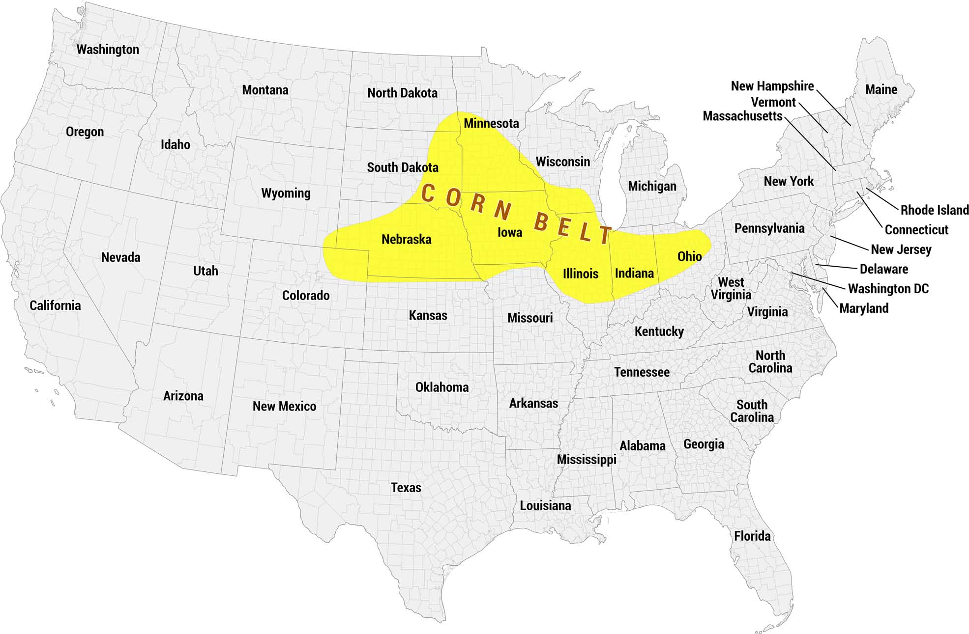
Our Corn Belt map shows this region in bright yellow across the upper Midwest. The area spans several states, including Nebraska, Iowa, Illinois and Indiana.
Map Information
On the Map
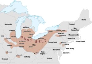
Corn Belt States: Nebraska, Iowa, Illinois, Indiana, Ohio States Partially Within the Corn Belt: Minnesota, South Dakota, Wisconsin Other States: Washington, Oregon, California, Nevada, Idaho, Montana, Wyoming, Utah, Colorado, Arizona, New Mexico, North Dakota, Kansas, Oklahoma, Texas, Arkansas, Louisiana, Mississippi, Alabama, Georgia, Florida, Tennessee, Kentucky, Missouri, West Virginia, Virginia, North Carolina, South Carolina, Maryland, Delaware, Washington DC, New Jersey, Connecticut, Rhode Island, Pennsylvania, New York, Massachusetts, Vermont, New Hampshire, Maine, MichiganEconomic Region Maps
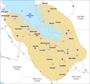
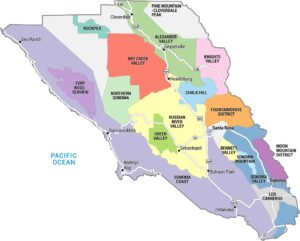
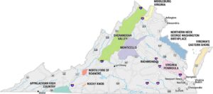
Regions defined by farming, industry, production, or economic identities.