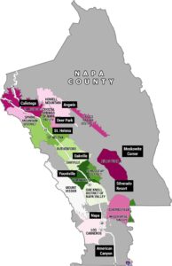
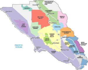
California Wine Regions Map
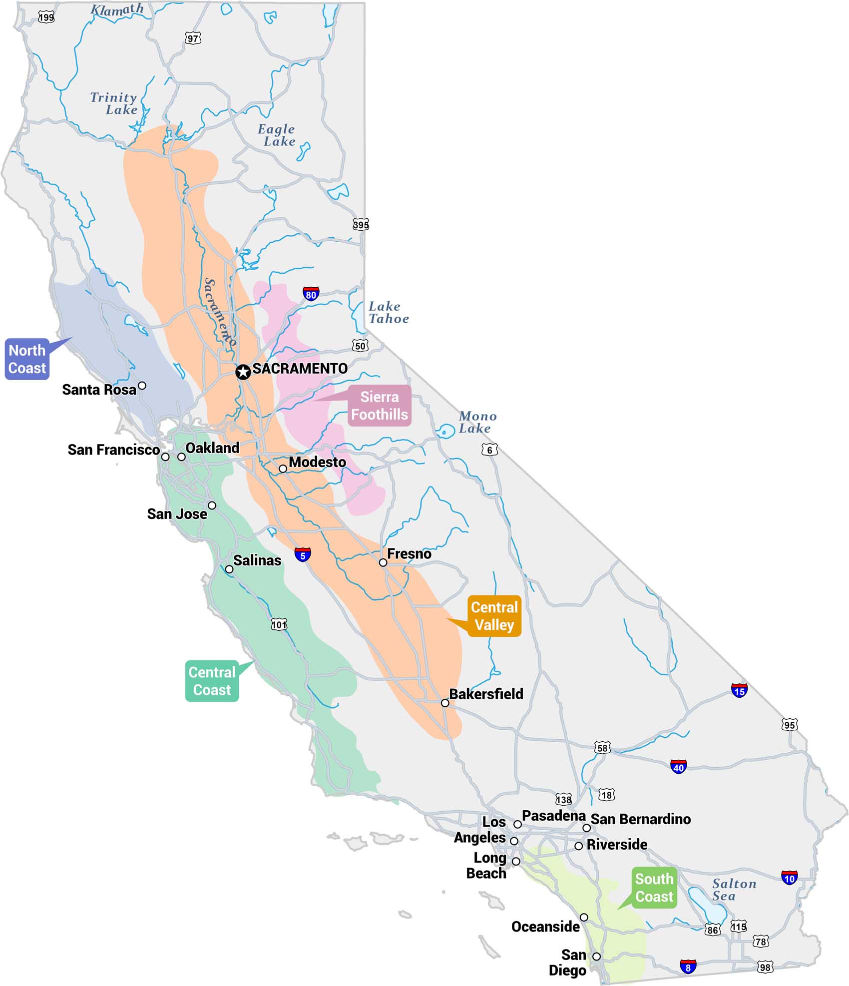
Our map of California displays its major wine-growing regions. It also includes major cities, highways, lakes, and rivers to better understand what’s where.
Map Information
On the Map
Wine Regions (AVAs & Districts): North Coast (purple-blue), Central Coast (teal), Central Valley (orange), Sierra Foothills (pink), South Coast (light green) Cities/Towns: Sacramento, San Francisco, Oakland, San Jose, Santa Rosa, Salinas, Modesto, Fresno, Bakersfield, Pasadena, Los Angeles, Long Beach, San Bernardino, Riverside, Oceanside, San Diego Bodies of Water: Trinity Lake, Eagle Lake, Lake Tahoe, Mono Lake, Salton Sea, Sacramento River, Klamath River Major Highways: I-5, I-8, I-15, I-40, I-80, US-50, US-95, US-97, US-101, US-199, US-395, CA-6, CA-18, CA-58, CA-78, CA-86, CA-98, CA-115, CA-138Economic Region Maps
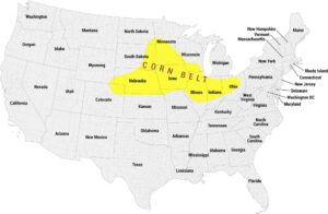
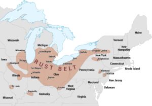
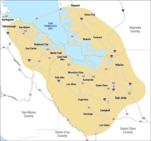
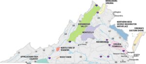
Regions defined by farming, industry, production, or economic identities.