Dixie Alley Map
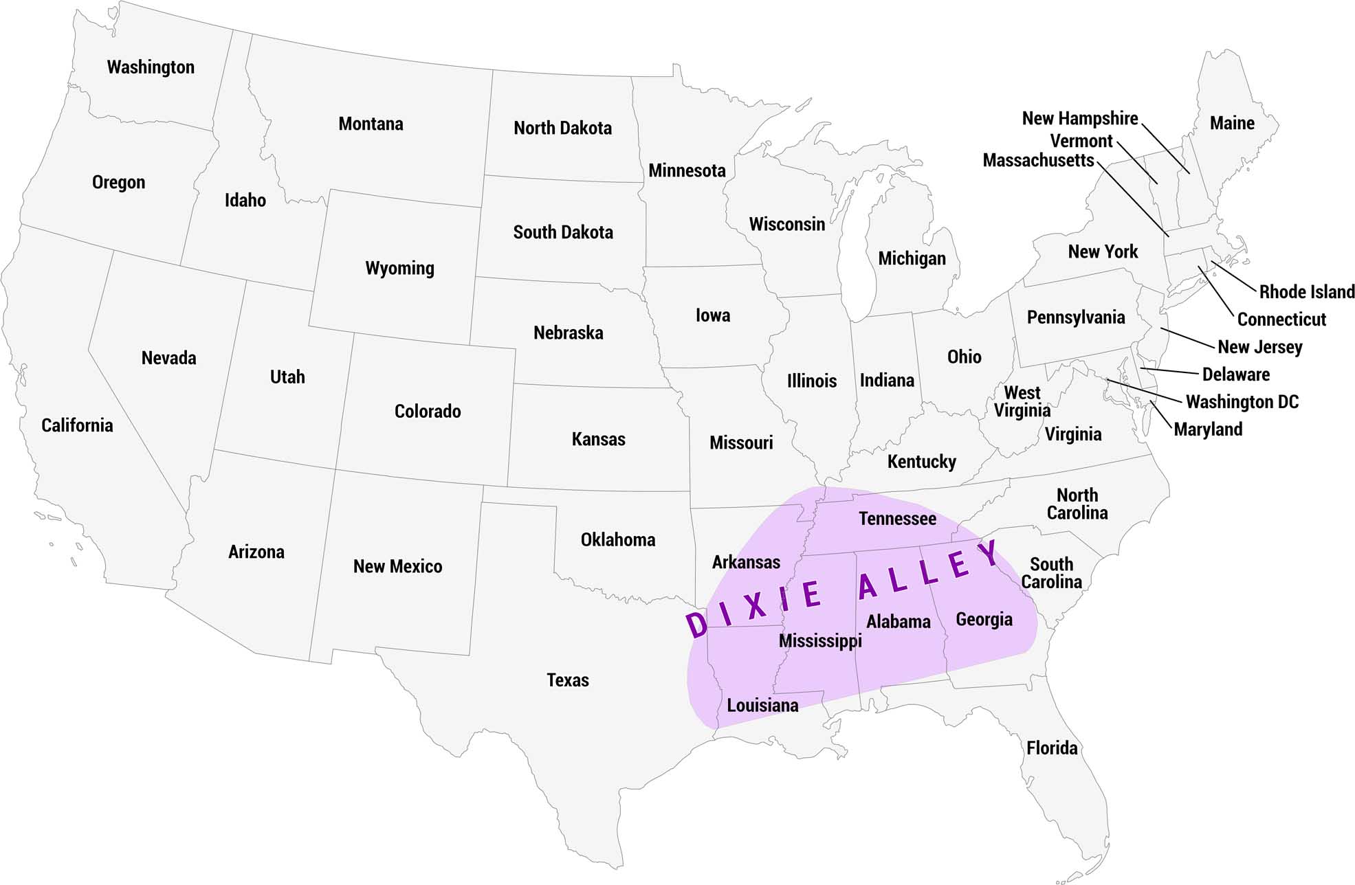
Dixie Alley is a region of the southern United States prone to deadly tornadoes, shown here in purple. Unlike the more famous “Tornado Alley” of the Great Plains, Dixie Alley is considered especially dangerous due to its higher population density.
Map Information
On the Map
States in Dixie Alley: Arkansas, Tennessee, Louisiana, Mississippi, Alabama, Georgia States Partly in Dixie Alley: Texas, Missouri, Kentucky, North Carolina, South CarolinaCultural Region Maps
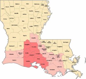
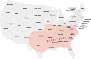
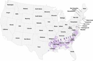
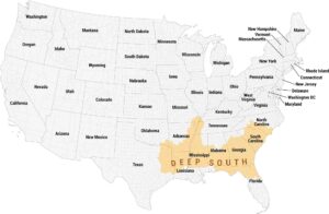
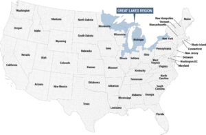
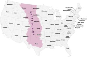
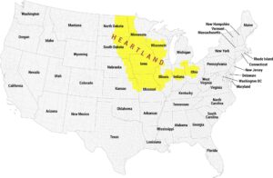
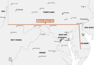
Regions defined by culture, climate patterns, history, or shared identity.