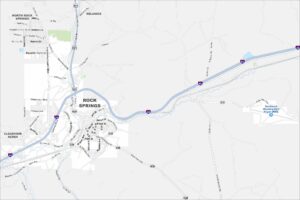
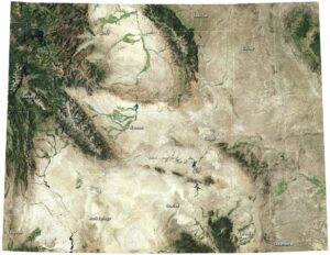
Map of Rock Springs, Wyoming
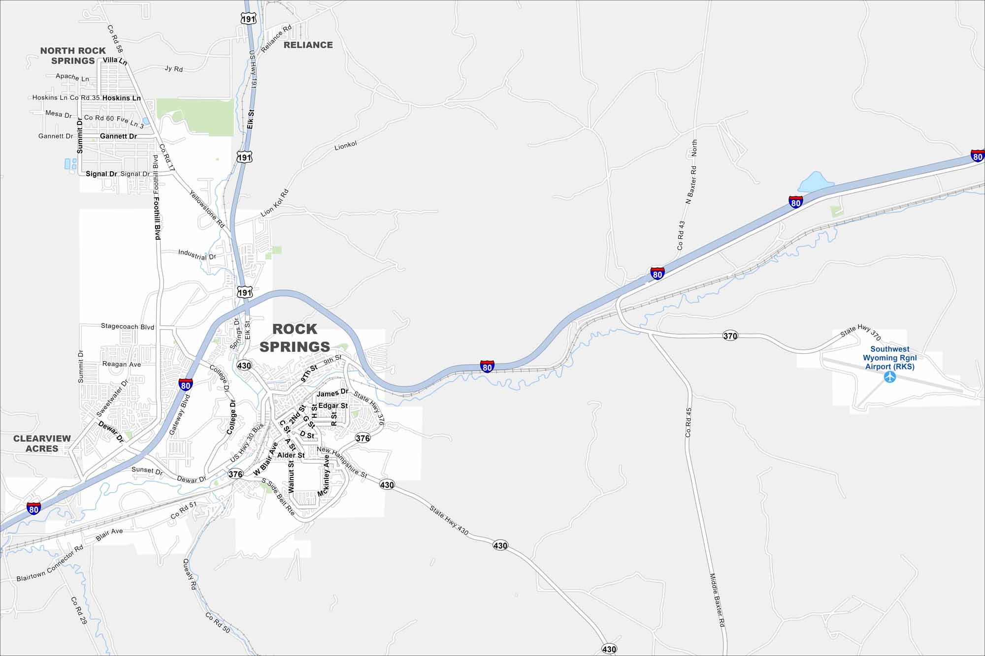
Our Rock Springs map shows the main roads and the open landscape around them. It’s a clear look at how the city spreads through wide country. I think you’ll also notice how the Southwest Wyoming Regional Airport is also part of the city to the east.
Map Information
On the Map
Interstates/Highways: I-80, US Hwy 191, US Hwy 30 Bus, State Hwy 370, State Hwy 376, State Hwy 430 Major Roads: Dewar Dr, College Dr, Foothill Blvd, Elk St, Sunset Dr, Blair Ave, 9th St, G St, Broadway St, Gateway Blvd, Stagecoach Blvd, Reagan Ave, Signal Dr, Gannett Dr, Yellowstone Rd, Industrial Dr, Lionkol Rd, Baxter Rd, Side Belt Rte, Middle Baxter Rd Airports: Southwest Wyoming Rgnl Airport (RKS) Nearby Communities: North Rock Springs, Reliance, Clearview AcresWyoming State Maps
Check out our maps across wide plains and peaks.


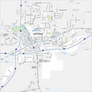
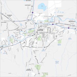
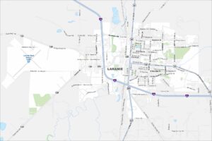
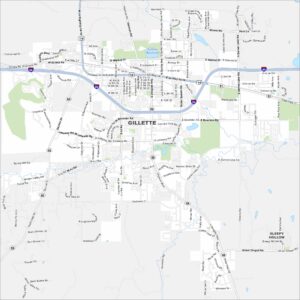
City Maps of Wyoming
Here’s Wyoming mapped from every angle