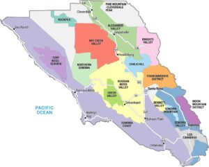
Napa Valley AVA Map
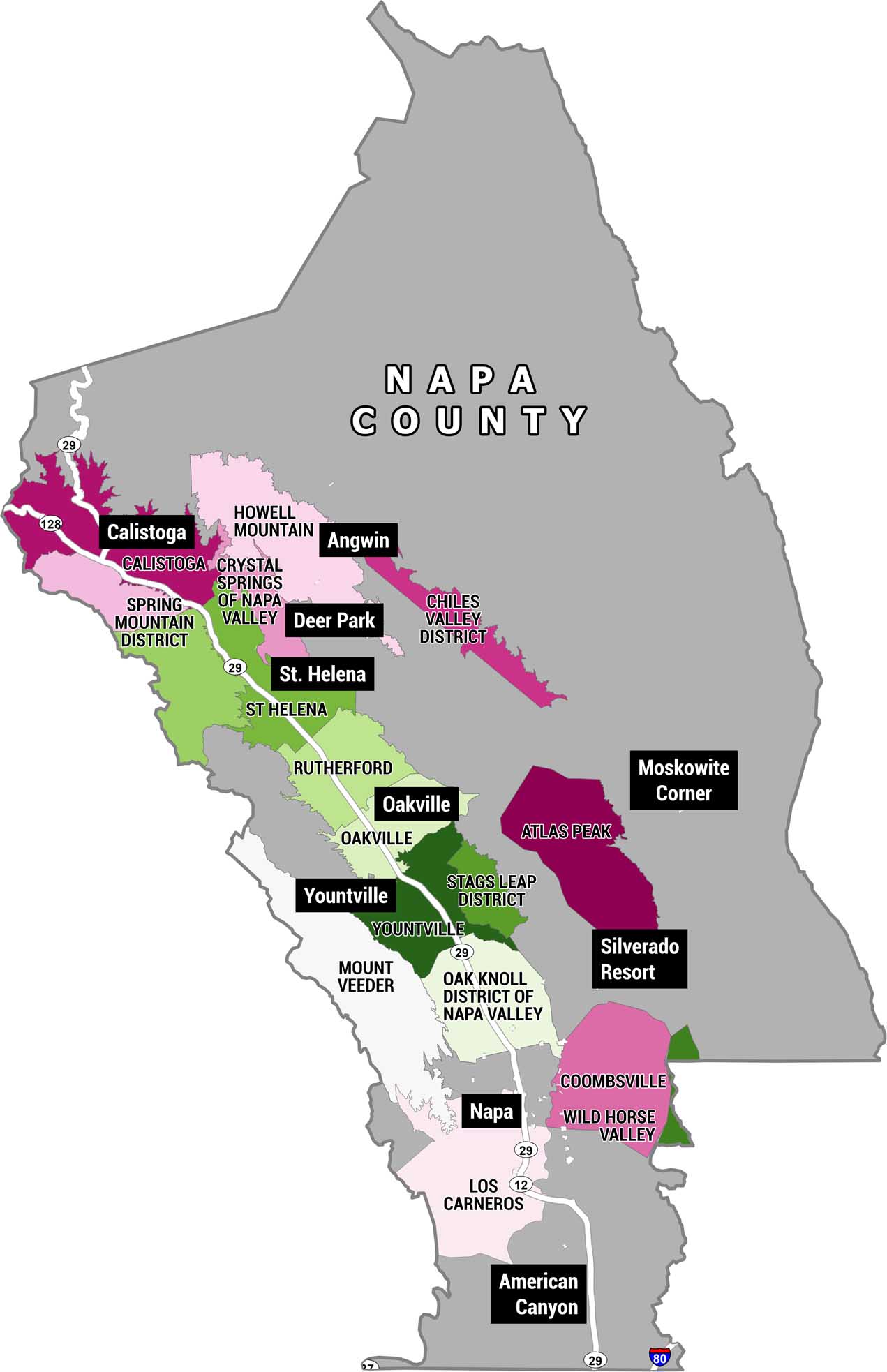
This is a detailed map of Napa County, California, showing all of its American Viticultural Areas (AVAs). These are the official wine-growing sub-regions. We’re displaying each one in a distinct shade of pink, magenta, or green. We’ve also labeled cities and landmarks in black boxes.
Map Information
On the Map
AVAs (Wine Sub-Regions): Calistoga, Spring Mountain District, Howell Mountain, Crystal Springs of Napa Valley, Chiles Valley District, St. Helena, Rutherford, Oakville, Atlas Peak, Stags Leap District, Mount Veeder, Oak Knoll District of Napa Valley, Yountville, Coombsville, Wild Horse Valley, Los Carneros Cities/Communities: Calistoga, Deer Park, Angwin, St. Helena, Oakville, Yountville, Napa, American Canyon Landmarks and Destinations: Moskowite Corner, Silverado Resort Highways: US-29, CA-128, CA-12, I-80Economic Region Maps
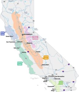
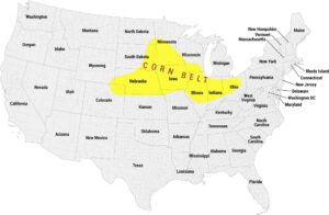
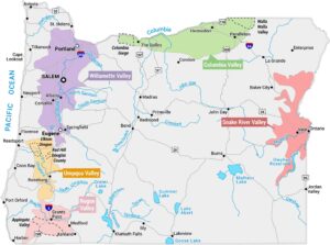
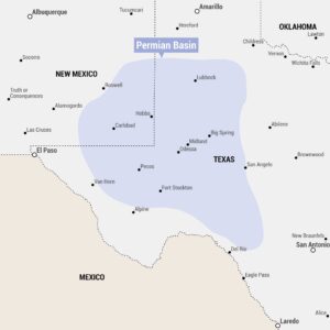
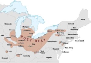
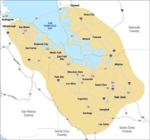
Regions defined by farming, industry, production, or economic identities.