Map of Seymour, Indiana
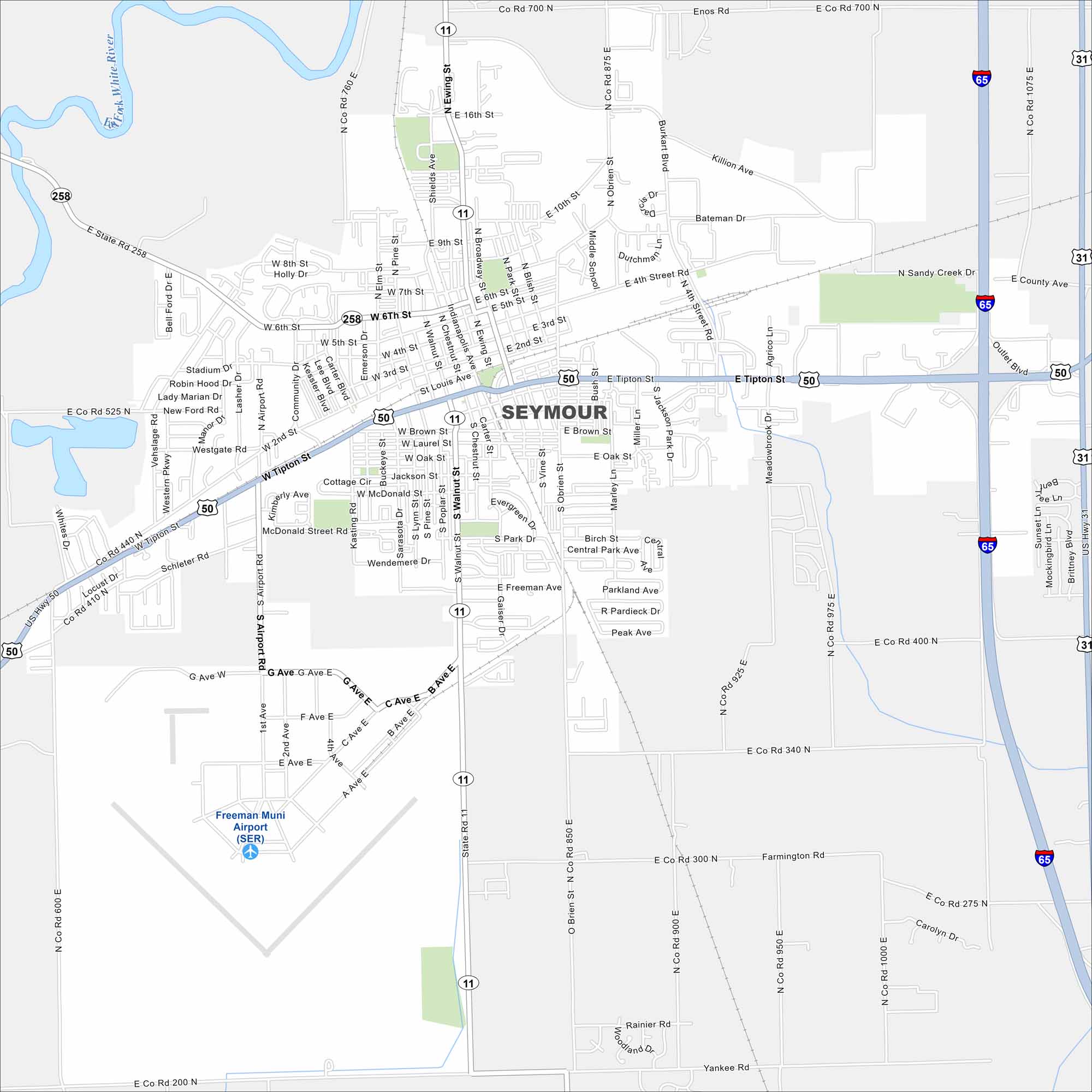
Check out our map of Seymour, Indiana. This small city is known as the “Crossroads of America”. It has rail history, festivals, and plenty of Hoosier charm.
Indiana State Maps
Study about Indiana with our map collection


Map Information
On the Map
Interstates/Highways: I-65, US Hwy 31, US Hwy 50, State Rte 11, State Rte 258 Major Roads: Tipton St, Ewing St, O’Brien St, Burkart Blvd, Airport Rd, Walnut St, Chestnut St, 2nd St, 4th St, 6th St, 9th St, 10th St, Freeman Ave, G Ave, A Ave, B Ave, C Ave, Sandy Creek Dr, Killion Ave, Bateman Dr Airports: Freeman Muni Airport (SER) Major Rivers: East Fork White RiverIndiana City Maps
Here are our maps of Indianapolis and Indiana cities


