Map of Shelbyville, Indiana
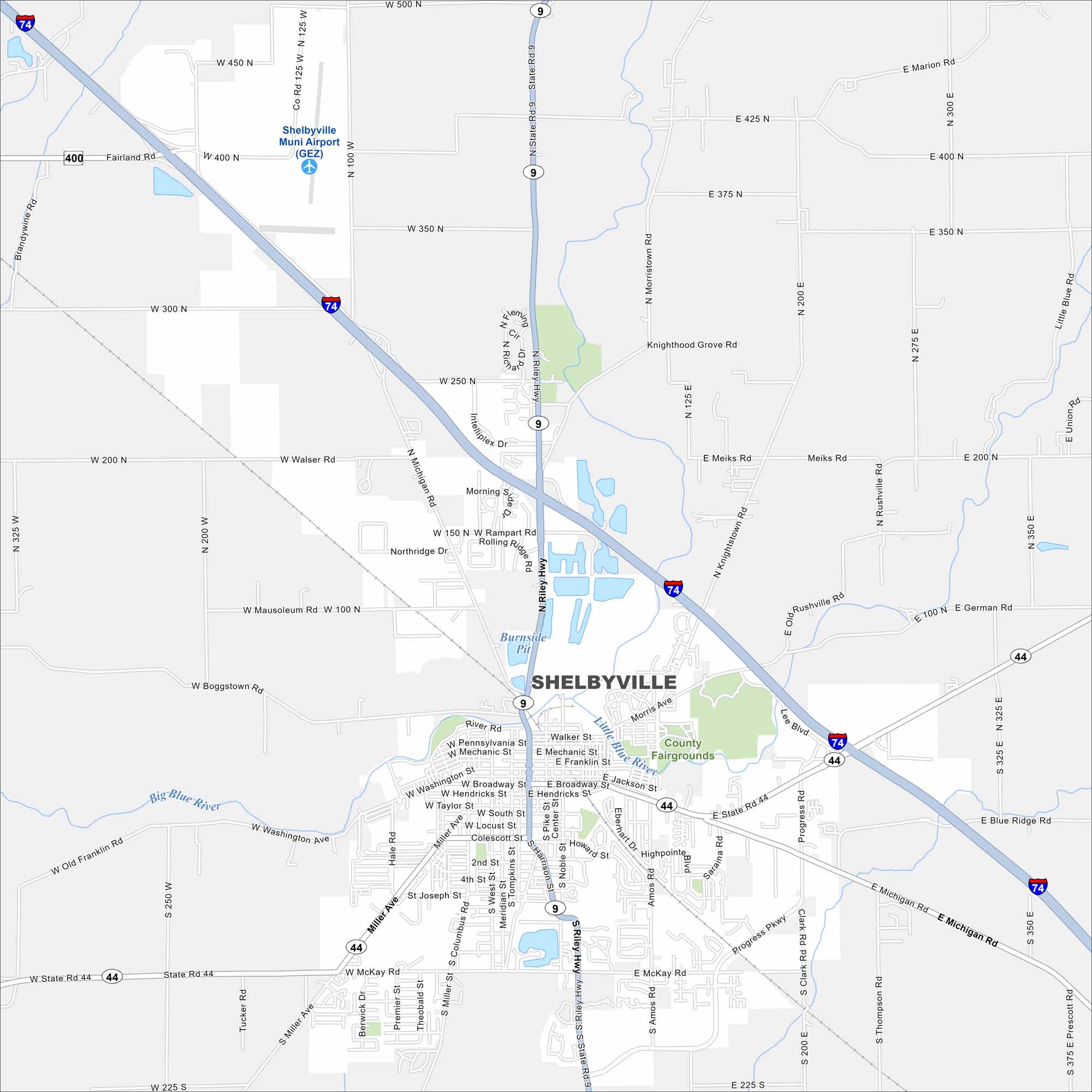
Here’s our map of Shelbyville. Known for its horse racing and historic square, it’s a small city with a strong sense of community. It also lies along the forks of the Big Blue and Little Blue rivers.
Indiana State Maps
Study about Indiana with our map collection


Map Information
On the Map
Interstates/Highways: I-74, State Rte 9, State Rte 44, Riley Hwy Major Roads: Michigan Rd, Harrison St, Broadway St, Washington St, Noble St, Miller Ave, McKay Rd, Progress Pkwy, Amos Rd, Knightstown Rd, Rushville Rd, Raleigh Rd, Rampart Rd, Rolling Ridge Rd, Northridge Dr, Walser Rd, Boggstown Rd, Mausoleum Rd, Fairland Rd Airports: Shelbyville Muni Airport (GEZ) Major Rivers: Little Blue River, Big Blue River Parks and Preserves: County FairgroundsIndiana City Maps
Here are our maps of Indianapolis and Indiana cities


