Map of Silverton, Oregon
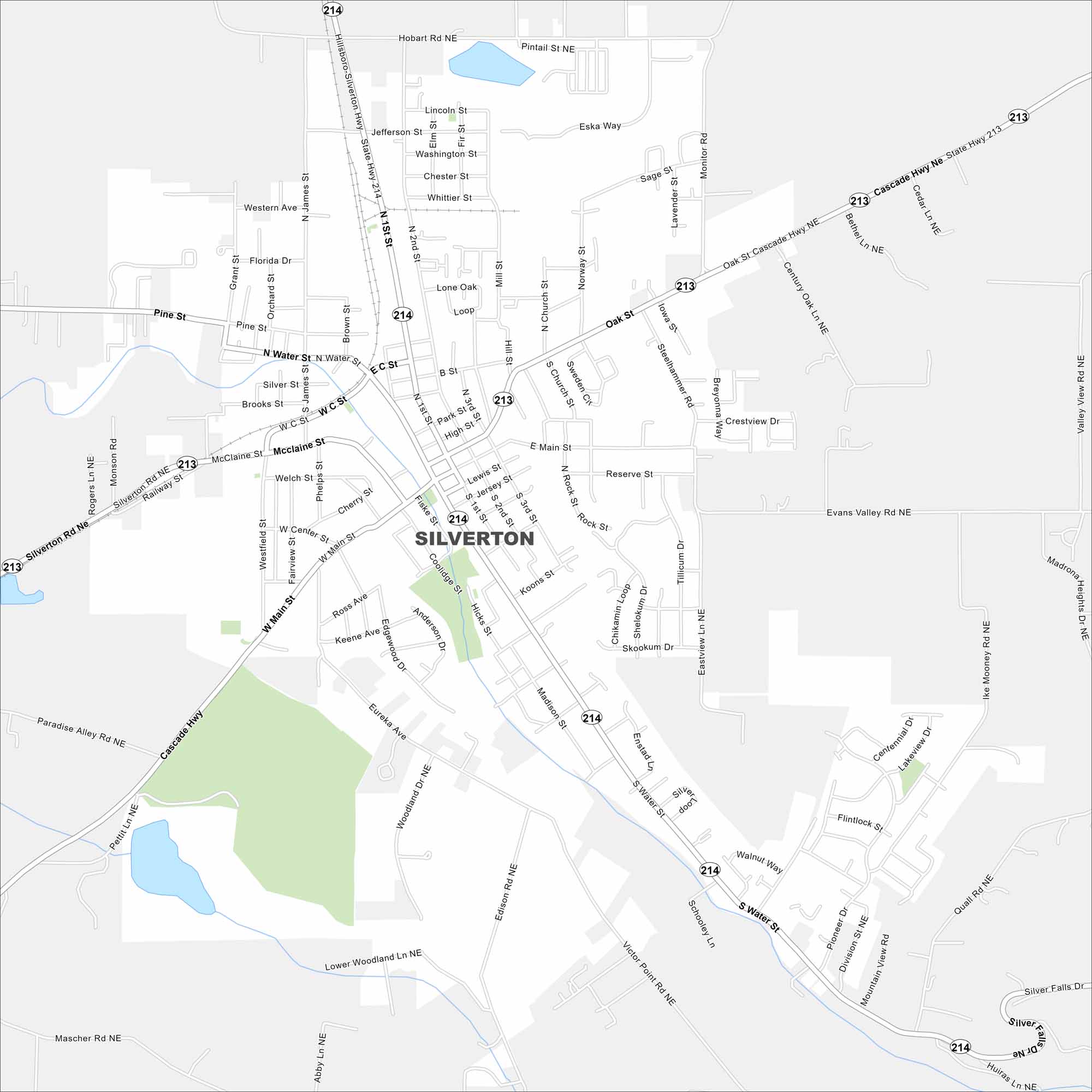
Our map of Silverton, Oregon shows this scenic town near waterfalls. The Oregon Garden and Silver Falls State Park are top attractions nearby.
Map Information
On the Map
Interstates/Highways: State Rte 214, State Rte 213 Major Roads: Cascade Hwy, Silverton Rd, Water St, McClaine St, Main St, Oak St, James St, C St, Webb Lake Rd, Hobart Rd, Monitor Rd, Victor Point Rd, Eureka Ave, Lone Oak Loop, Steelhammer Rd, Valley View Rd, Evans Valley Rd, Ike Mooney Rd, Silver Falls DrOregon State Maps
Here is our state map collection of Oregon.


City Maps of Oregon
Get to know Portland and Oregon’s urban areas.


