Map of Snohomish, Washington
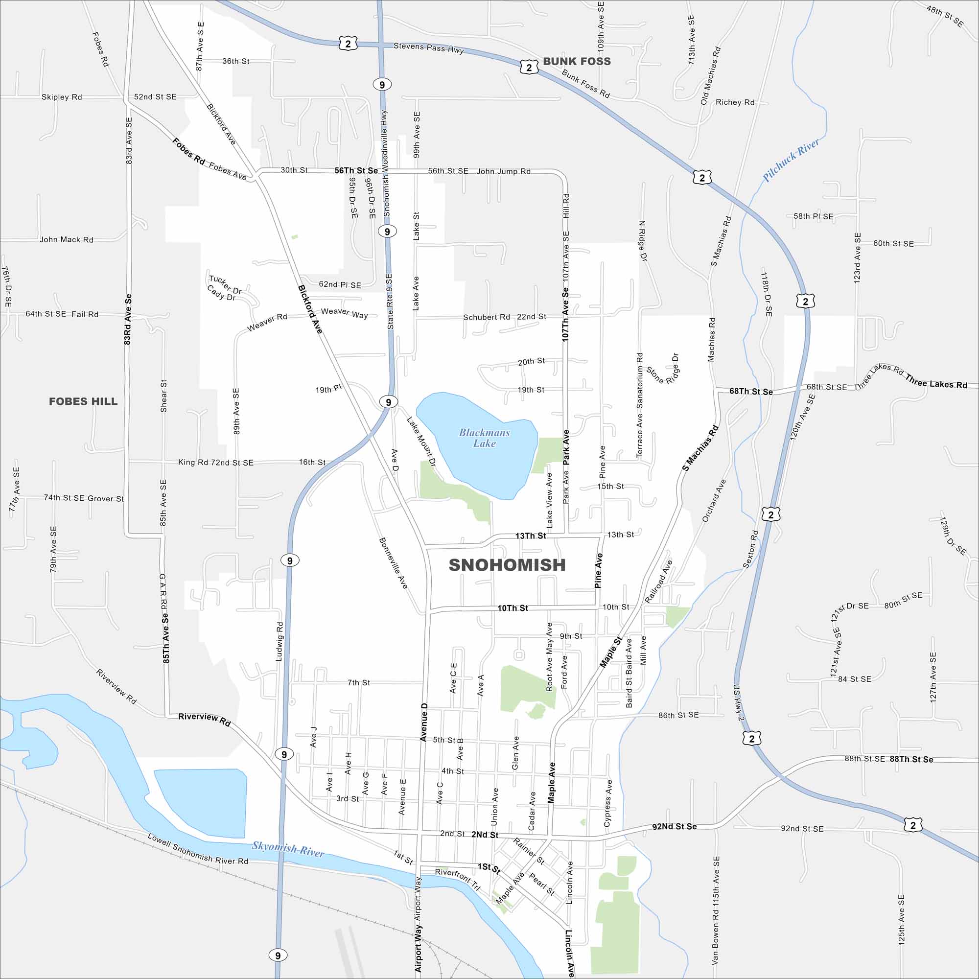
Here’s how to get around Snohomish using our road map. Its two major natural features include Blackmans Lake and the winding Snohomish River in the south.
Map Information
On the Map
Interstates/Highways: US Hwy 2, State Rte 9 Major Roads: Bickford Ave, Snohomish Woodinville Hwy, Riverview Rd, Avenue D, Maple Ave, 2nd St, 30th St, 56th St, 68th St, 88th St, 92nd St, 4th St, 10th St, 13th St, 16th St, 22nd St, Ludwig Rd, Machias Rd, Pine Ave, Terrace Ave Lakes and Reservoirs: Blackmans Lake Major Rivers: Skykomish River, Pilchuck River Nearby Communities: Bunk Foss, Fobes HillWashington State Maps
Move through the Evergreen State with our map collection.


City Maps of Washington
Check out our city maps of Washington


