Map of Spokane, Washington
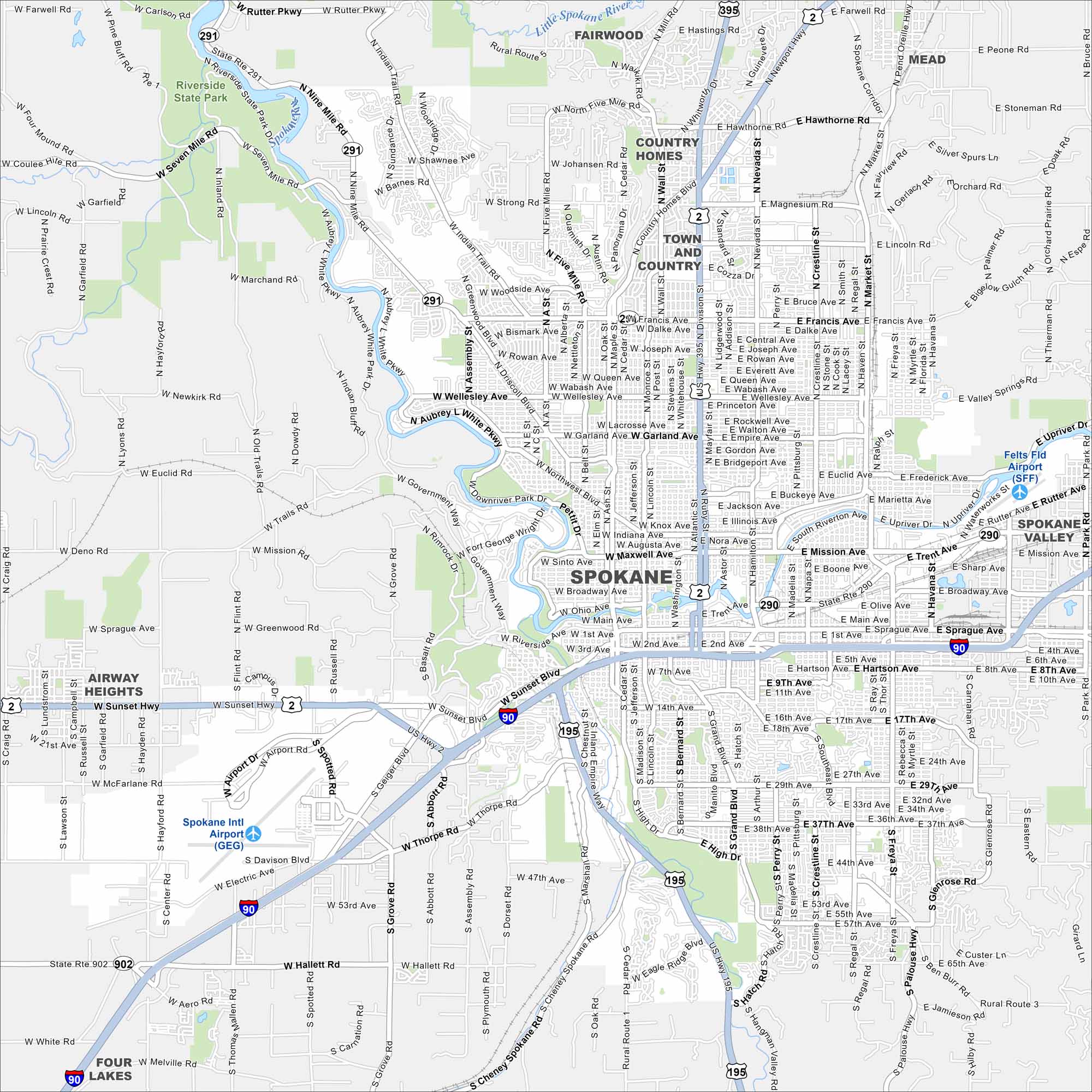
Get to know Spokane with our road map. The Spokane River and Riverfront Park sit at the center of this lively inland city. Plus, it’s the second most populous city in Washington.
Map Information
On the Map
Interstates/Highways: I-90, US Hwy 2, US Hwy 395, US Hwy 195, State Rte 291, State Rte 290 Major Roads: Division St, Sprague Ave, Sunset Blvd, Francis Ave, Wellesley Ave, Mission Ave, Trent Ave, Broadway Ave, 2nd Ave, 29th Ave, Maple St, Ash St, Monroe St, Grand Blvd, Freya St, Havana St, Newport Hwy, Seven Mile Rd, Nine Mile Rd, Government Way Airports: Spokane Intl Airport, Felts Fld Airport Major Rivers: Spokane River Parks and Preserves: Riverside State Park Nearby Communities: Airway Heights, Four Lakes, Spokane Valley, Town and Country, Country Homes, Fairwood, Mead Neighborhoods: Spokane Riverside DowntownWashington State Maps
Move through the Evergreen State with our map collection.


City Maps of Washington
Check out our city maps of Washington


