Map of St. John, Indiana
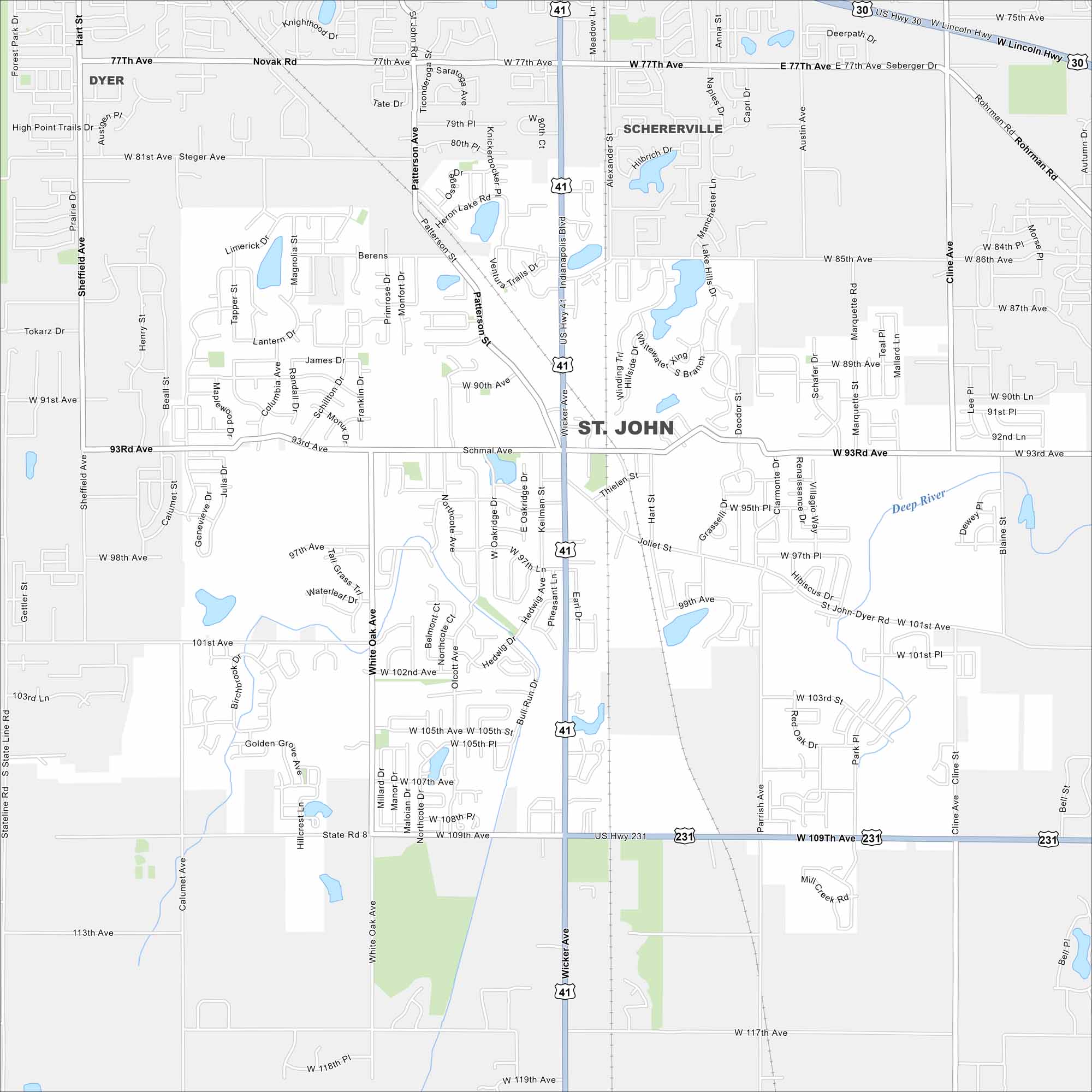
Get to know St. John with our road map. This suburban community offers quiet neighborhoods, local schools, and easy access to nearby Chicago.
Indiana State Maps
Study about Indiana with our map collection


Map Information
On the Map
Interstates/Highways: US Hwy 30, US Hwy 41, US Hwy 231, State Rte 8 Major Roads: Wicker Ave, Indianapolis Blvd, 93rd Ave, 109th Ave, Joliet St, Patterson Ave, White Oak Ave, 77th Ave, 101st Ave, Olcott Ave, Cline Ave, Sheffield Ave, Calumet Ave, 97th Ave, 105th Ave, Keilman St, Thielen St, Stateline Rd, 85th Ave, 117th Ave Major Rivers: Deep River Nearby Communities: Dyer, ScherervilleIndiana City Maps
Here are our maps of Indianapolis and Indiana cities


