Kansas National Parks and Forests Map
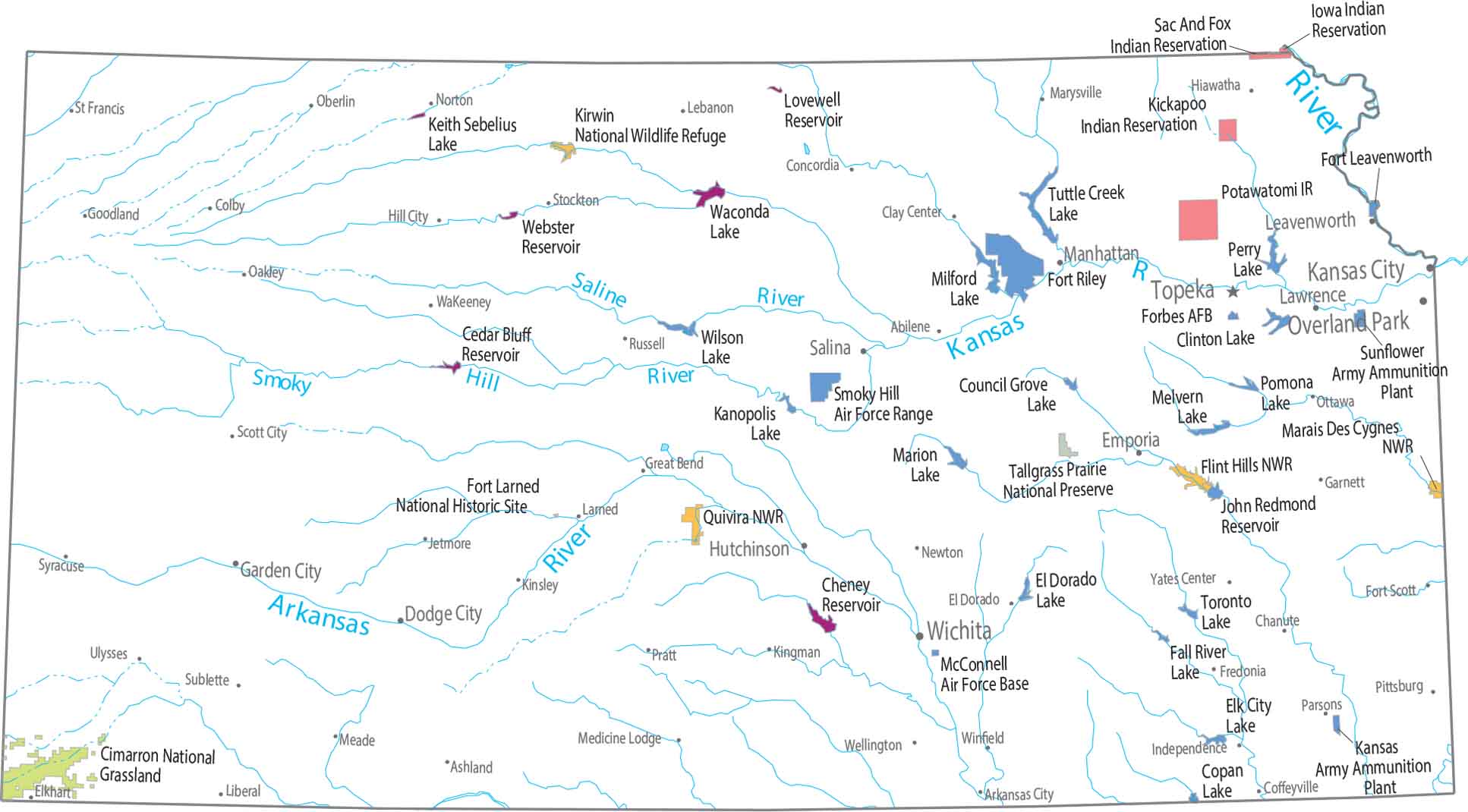
Open space here isn’t protected, it’s working land. Our map shows almost nothing for federal land. Small park areas feel isolated as the plains dominate everything.
Map Information
On the Map
Parks, Forests and Federal Lands
National Wildlife Refuges: Flint Hills NWR, Kirwin NWR, Marais Des Cygnes NWR, Quivira NWR Grasslands and Preserves: Cimarron National Grassland, Tallgrass Prairie National Preserve Indian Reserves (IR): Iowa IR, Kickapoo IR, Potawatomi IR, Sac And Fox IR Army, Naval and Military: Forbes Air Force Base, Fort Larned National Historic Site, Fort Leavenworth, Fort Riley, Kansas Army Ammunition Plant, McConnell Air Force Base, Smoky Hill Air Force Range, Sunflower Army Ammunition PlantParks, Forests and Federal Lands
State Capital: Topeka Major Cities: Kansas City, Overland Park, Wichita Cities and Towns: Abilene, Arkansas City, Ashland, Chanute, Clay Center, Coffeyville, Colby, Concordia, Dodge City, El Dorado, Elkhart, Emporia, Fort Scott, Fredonia, Garden City, Garnett, Goodland, Great Bend, Hiawatha, Hutchinson, Independence, Jetmore, Kingman, Kinsley, Larned, Lawrence, Leavenworth, Liberal, Manhattan, Marysville, Meade, Medicine Lodge, Newton, Norton, Oakley, Oberlin, Ottawa, Parsons, Pittsburg, Pratt, Russell, Salina, Scott City, St. Francis, St. John, Stockton, Sublette, Syracuse, Tribune, Ulysses, Wakeeney, Wellington, Winfield, Yates Center Lakes and Reservoirs: Milford Lake, Perry Lake, Tuttle Creek Lake, Waconda LakeCedar Bluff Reservoir, Cheney Reservoir, Clinton Lake, Copan Lake, Council Grove Lake, El Dorado Lake, Elk City Lake, Fall River Lake, John Redmond Reservoir, Kanopolis Lake, Keith Sebelius Lake, Lovewell Reservoir, Marion Lake, Melvern Lake, Milford Lake, Perry Lake, Pomona Lake, Toronto Lake, Waconda Lake, Webster Reservoir, Wilson Lake Major Rivers: Arkansas River, Kansas River, Missouri River, Saline River, Smoky Hill River, Tuttle CreekKansas State Maps
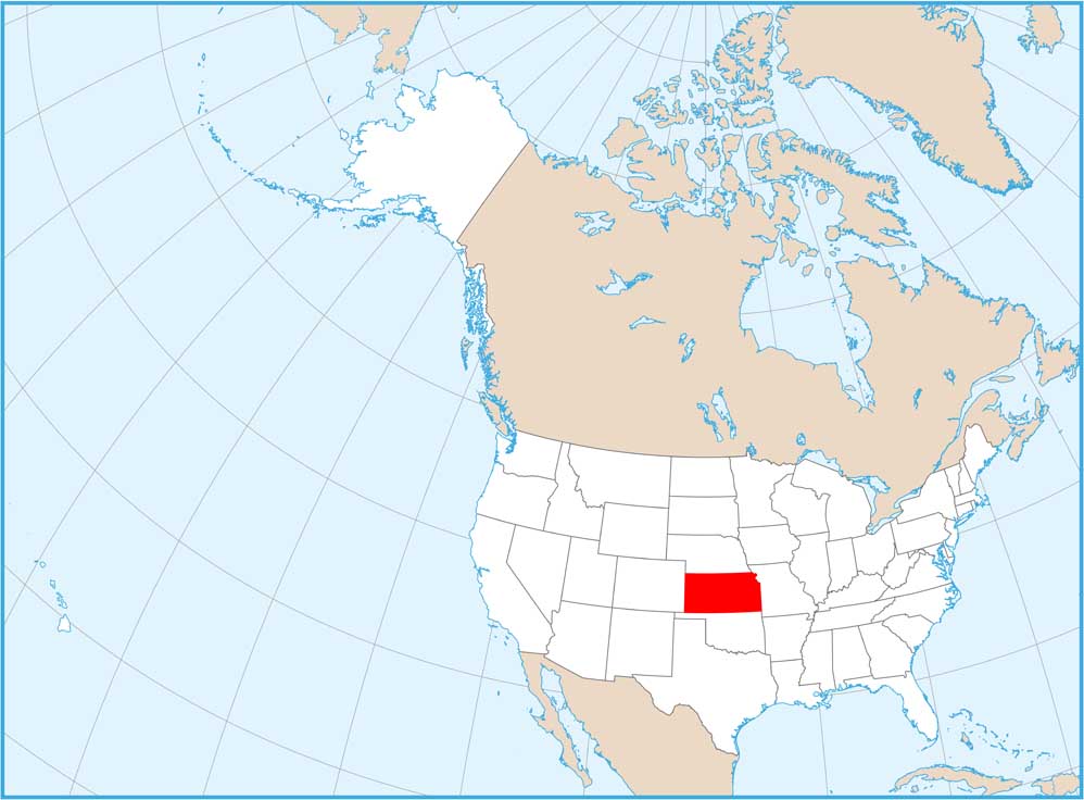
Explore every corner of Kansas with our state maps


