Birmingham Museum of Art Map
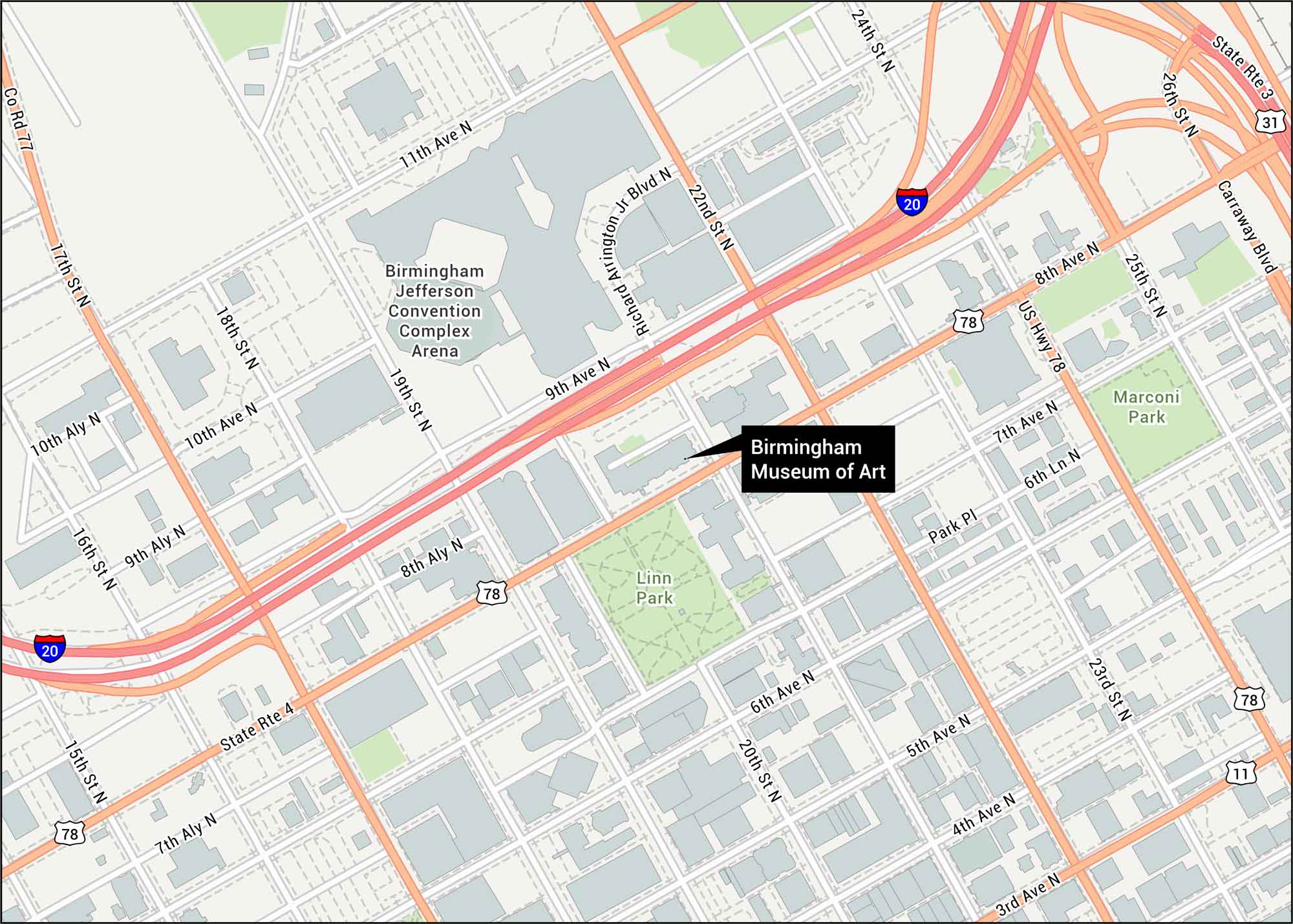
Here’s our map of the Birmingham Museum of Art. We’ve mapped connections to I-20, US Highway 31 and surrounding downtown roads. Birmingham is Alabama’s largest city with a pretty neat art museum.
Map Information
On the Map
Interstates/Highways: I-20, US Hwy 11, US Hwy 31, US Hwy 78, State Rte 3, State Rte 4 Major Roads: 3rd Ave, 4th Ave, 5th Ave, 6th Ave, 7th Ave, 8th Ave, 9th Ave, 10th Ave, 11th Ave, 15th St, 16th St, 17th St, 18th St, 19th St, 20th St, 22nd St, 23rd St, 24th St Parks/Forests: Linn Park, Marconi Park Other Landmarks: Birmingham Museum of Art, Birmingham Jefferson Convention Complex ArenaTourist Maps in Alabama
Discover all the prime locations with our tourist maps.