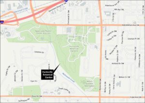
US Space and Rocket Center Map
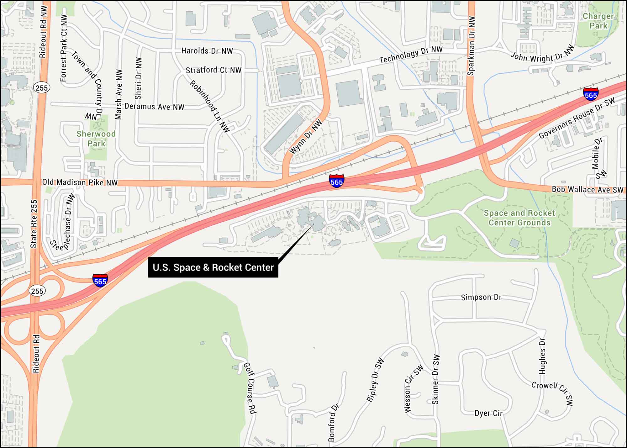
Here’s our map of US Space and Rocket Center in Huntsville. Our road map displays Interstate 565 and major connecting roads. Did you know that Huntsville built the rockets that took America to the moon?
Map Information
On the Map
Interstates/Highways: I-565, State Rte 255
Major Roads: Bob Wallace Ave, Old Madison Pike, Governors House Dr, Bomford Dr, Crowell Cir, Deramus Ave, Dyer Cir, Forrest Park Ct, Golf Course Rd, Harolds Dr, Hughes Dr, John Wright Dr, Marsh Ave, Mobile Dr, Rideout Rd, Robinhood Ln, Sheri Dr, Simpson Dr, Skinner Dr
Parks/Forests: Sherwood Park, Space and Rocket Center Grounds, Charger Park
Tourist Maps in Alabama
Discover all the prime locations with our tourist maps.