Sloss Furnaces National Historic Landmark Map

Use our map to explore the Sloss Furnaces National Historic Landmark. This industrial site is situated on 1st Avenue North with railroad tracks and connections to I-20 and I-59. This beast-like furnace complex powered Birmingham’s steel production for decades.
Map Information
On the Map
Interstates/Highways: I-20, US Hwy 11, US Hwy 31, US Hwy 78 Major Roads: State Rte 4, 1st Ave, 1st Ave, 2nd Ave, 2nd Ave, 3rd Ave, 3rd Ave, 4th Ave, 4th Ave, 5th Ave, 6th Ave, 6th Ave, 7th Ave, 7th Ave, 8th Ave, 8th Ave, 9th Ave, 11th Ave, 24th St, 25th St Parks/Forests: Marconi ParkTourist Maps in Alabama
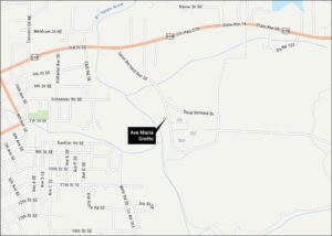
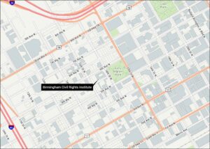
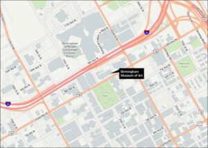
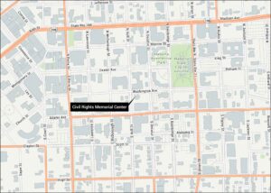
Discover all the prime locations with our tourist maps.