Birmingham Civil Rights Institute Map
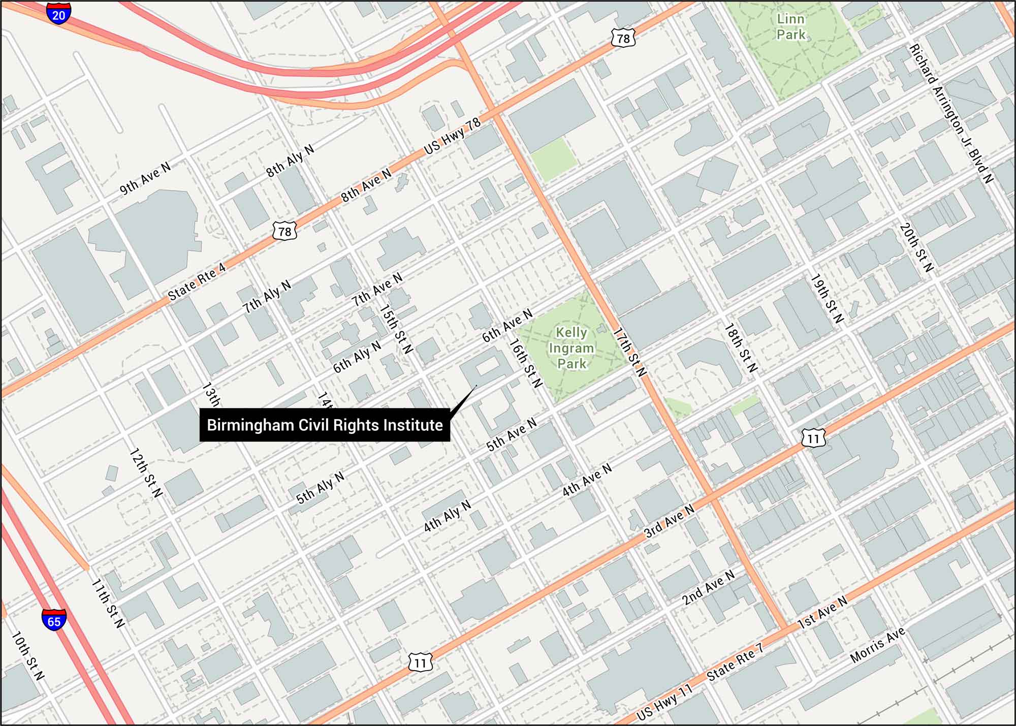
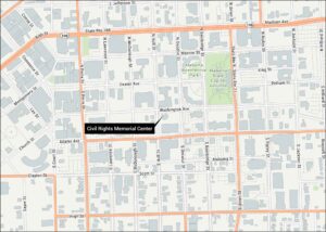
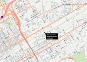
Check out our map showing the Birmingham Civil Rights Institute. See 16th Street North, nearby I-65, and downtown Birmingham streets. This landmark sits in the heart of the Civil Rights District next to Kelly Ingram Park.
Map Information
On the Map
Interstates/Highways: I-20, I-65, US Hwy 11, US Hwy 78, State Rte 4, State Rte 7 Major Roads: 1st Ave, 2nd Ave, 3rd Ave, 4th Ave, 5th Ave, 6th Ave, 7th Ave, 8th Ave, 10th St, 11th St, 12th St, 13th St, 14th St, 15th St, 16th St, 17th St, 18th St, 19th St Parks/Forests: Kelly Ingram Park, Linn ParkTourist Maps in Alabama
Discover all the prime locations with our tourist maps.